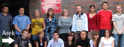
This past summer, Supermodeler Arkadiusz Pawlowski (a.k.a. Arek, a.k.a. aroo) decided to hold a SketchUp workshop for students at the Nicolas Copernicus University of Toruń. He partnered with fellow Toruń alumni Radoslaw Golba to teach the course. I asked him a few questions about the experience:
Why did you decide to hold a workshop?
It was like an impulse I had on my way back from the 2010 Google Mapper and Modeler Summit held in Zurich. I came to the conclusion that it would be a good thing to organize classes for students to teach them what I knew about geo-modeling with SketchUp.
So the purpose of the workshop was to teach students how to geo-model?
Yes, but I also wanted to increase the students’ knowledge of modeling tools and have them practice visualizing objects in a digital 3D form. I encouraged them to work independently and to further develop the skills that they could use beyond geo-modeling.
What was the schedule like for the workshop?
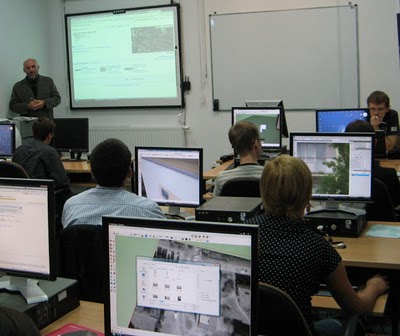
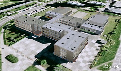
Since most of the students had never used SketchUp before, the first day of the workshop was used to let them familiarize themselves with the program. On the second day, students went out to collect photographs of selected buildings, and then later edited the images to make textures for the model. The third day of the workshop was for actually modeling the buildings in SketchUp and then texturing them with the previous day’s photos. All of the complete models are in a collection on the 3D Warehouse.
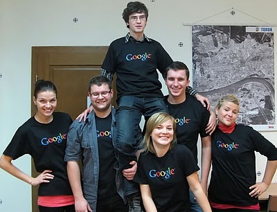
The workshop was also supported by the Department of Cartography, Remote Sensing and Geographical Information Systems of University of Toruń, who handed out certificates to participants at the end of the workshop… and Google provided t-shirts. 
See more photos of Arek’s workshop, and download the placemarks of all the buildings created in the workshop, then view the models in Google Earth.


