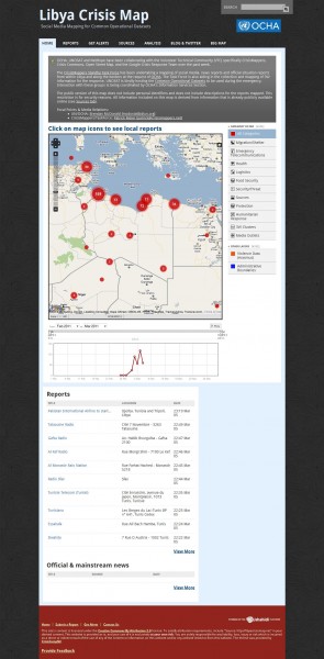
Libya Crisis Map
The UN OCHA’s Information Management unit in Geneva has asked the CrisisMappers Standby Task Force to provide a live map of reports of the current crisis in Libya generated from Twitter, Facebook, Flickr, YouTube and mainstream media sources.
Summary
* Over 300 unique reports mapped; detailing nearly 400 different events
* Two main clusters of reports: largest around Tripoli – Zauara (extending west towards the border with Tunisia); secondone around Bengbazi extending to the border crossing with Egypt at Bardiyah. The background to all maps is the heatmap showing these two clusters.
* Violence mainly in two locations: (i) in and around Tripoli, extending West to the Border with Tunisia; (ii) in Benghazi, and extending far into the south-west of the country
* People movement locations mainly across borders at: (i) Ghat Awbari into Algeria; (ii) Saloum and Al Jaghub into Egypt; (iii) Ghadamis into Algeria; (iv) all along the border with Tunisia; (v) Matan as Sarah into Chad; (vi) Al Awaynat into Sudan
* Health is most reported need. Health services reportedly being provided in all locations reporting health needs except Saloum and Ajdabiya
* Protection is the next most reported need. Most of these reports relate to issues relating to the personal safety of civilians
* Food is the third most reported need. Food supplies reportedly being provided in all locations reporting food needs.
