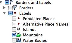
Mountains have long been catalysts for inspiring artists and challenging the human spirit. Today, we’re adding a host of new features to the “Mountains” layer in Google Earth, to more easily appreciate their elegance and beauty. To see the layer, make sure “Mountains” is checked in the left layers panel of Google Earth.
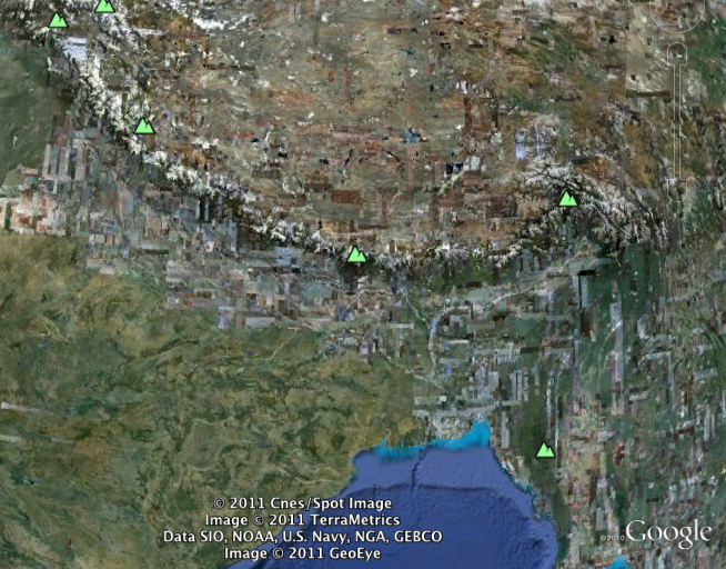
 Let’s fly to Mount Everest, the highest mountain on the planet, to see one of the latest features. A green icon (
Click on the green icon to view information about this mountain. Below is the bubble that will appear when you click on Mount Everest.
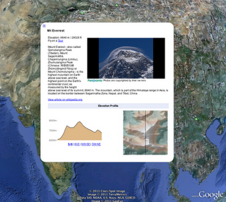
The bubble content includes Everest’s elevation, a link to a KML tour (more on that below), a link to an article on the mountain and a slide deck of Panoramio images. Hovering over the image will reveal arrows to let you view additional photos of Everest.
In the “Elevation Profile” section, you can view elevation cross-sections of the mountain in four directions (click on the links labeled “S-N”, “W-E”, “NW-SE”, “SW-NE” to change the cross-section views in the direction of your choice). The cross section is shown as a black line on the shaded relief image of the mountain, viewed on the right-hand side.
We’re also excited to show off the tours created for each and every mountain. Click on the “Fly on a tour” link to download a KML tour. Hit the “Play” icon once the tour has downloaded and you’ll be taken to a vantage point near the peak and flown in a circle to take in the views. Below is a YouTube video showing the tour for the Matterhorn.
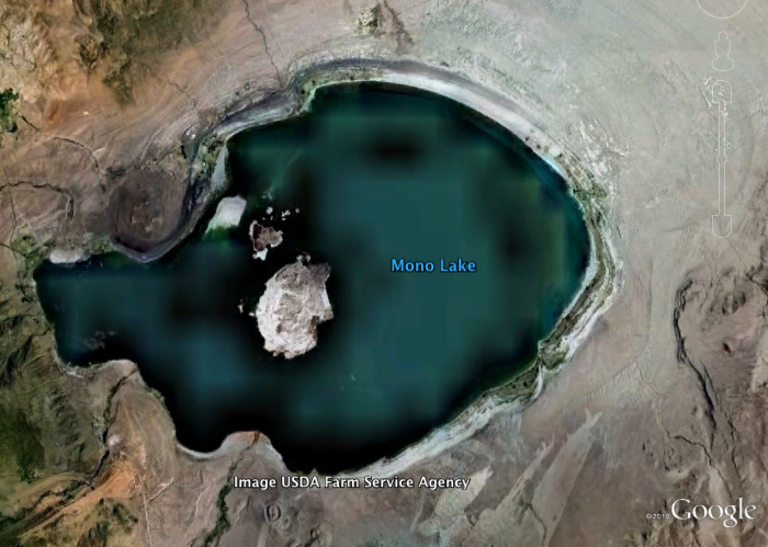
We’ve also added hundreds of thousands of new labels for water bodies all over the world. Click on the “Water Bodies” label just underneath “Mountains” in the layer panel to see new labels for seas, bays, lakes, and reservoirs (rivers are not yet labeled).
We hope these changes will help enhance the use of Google Earth for education, learning, and exploring.