As far back as 2006, we’ve seen Google Earth used to help protect land from illegal mining and tree cutting. Now comes a story out of India that helped prove that politician Dinar Tarcar had been extracting far more ore than allowed from the Tembocheo Dongor mine. By using historical imagery from 2003, they were able to show the progress of the mine to prove how quickly it had expanded.
“The Google pictures of the year 2003 clearly show that the area was virgin land and it is not possible to agree with any fallacious contention that several million tonne of ore dump accumulated has been done on account of earlier dumps,” the report says pointing out to illegal activities in a mine operated at Tembocheo Dongor by Dinar Tarcar, in survey number 59/51.
That mine at Tembocheo Dongor had extracted ore in excess of the 3-lakh tonne limit set by the environmental clearance. The report has blamed the mines department, headed by Chief Minister Digambar Kamat for the last 12 years, for ignoring this violation.
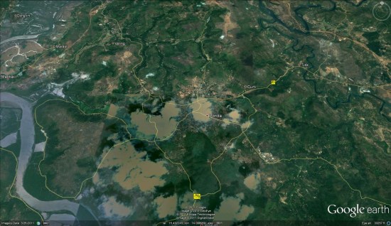
You can read more about it on the Daily Pioneer. However, we’ve been unable to find the exact location of Tembocheo Dongor. If you’re able to track it down, leave a comment so we can all take a look at it.
(via @OgleEarth)