The Street View on Russia

Welcome to Russia! You can now virtually travel through the world’s largest country to the cities of Moscow and St. Petersburg using Google Maps Street View.

Take an online stroll around famous Red Square and Moscow Kremlin, or go to outskirts of Moscow to wander around the beautiful Tsaritsino or Kuskovo parks. You can also visit the former site of the palace in Kolomenskoye, once considered the 8th World Wonder.


Red Square, Moscow


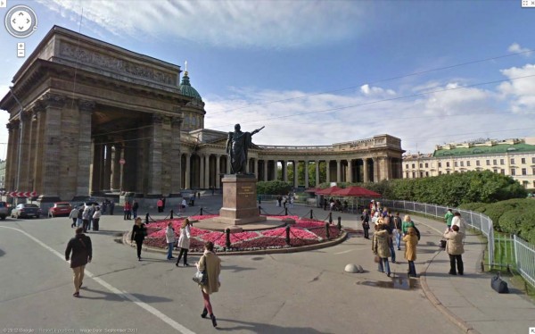
St. Petersburg, the second largest city in Russia and northernmost megapolis in the world, was once a country capital, and the history of this young city started with The Peter and Paul Fortress. Today, the entire historical center of St. Petersburg is a UNESCO Heritage Site that you can enjoy via Street View.


Historical Center, St. Petersburg


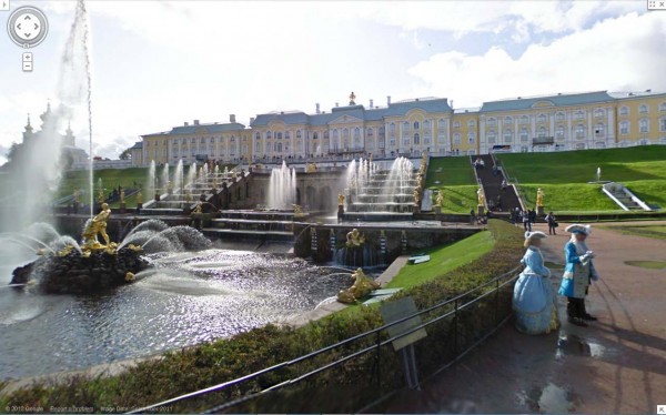
Within St. Petersburg, you can see the great palaces and parks that Russian emperors and nobles built, with Peterhof being its crown jewel. In fact, whole southern shore on the Gulf of Finland consists of palaces and parks including Peterhof, the Oranienbaum, and Alexandria.


Peterhof, St. Petersburg

We hope you enjoy your virtual trip to Russia, and look forward to sharing more countries, cultures and sites as Street View continues to expand to more places. For a demo on how Street View works, start here.

Also, if you have a story to share about a place in Russia, find it in Street View and share it on Google+ with the #streetview.

The Google Earth Community


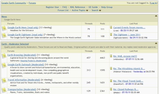
The Google Earth Community, formed in 2002 when Google Earth was still an independent product called “Keyhole”, has been an excellent resource for Google Earth users. Not only was the community a great place to post new files that you create/discover, but you could get answers to almost any Google Earth-related question in there.


bbs.jpg 

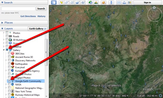
They even added a Google Earth Community layer to Google Earth back in 2005 to show off the great files that users have added, which you can still find under the [Gallery] section of your Layers.


layer.jpg 

Recently, the GEC had had some stability issues. Because it was based off of an older BBS technology, it was having increasing amounts of trouble under an ever-growing load. To fix that, Google is now moving it over to a Google Groups-based system which should help with those issues tremendously.

Right now Google is in the process of moving all of the posts and attachments to the new system. With more than 1.2 million posts on there, it’ll take some time. They’re hoping to have the data ported over by next week, and we’ll certainly let you know when it goes live.

If you have any questions or problems in the meantime, you can use the Google Earth forums already in place in Google Groups

via: GoogleEarthBlog