The Airport Maps for Bing

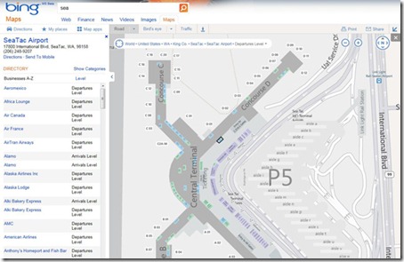
Bing announced detailed airport maps as the newest addition to our popular venue maps for Bing Maps. The new airport maps give you everything you need to navigate your way through your travels. Airport maps include information on parking garages, ticket counter location, terminals and gates, baggage claims, currency exchange and more! You’ll also see a sortable directory of airlines, cafes and restaurants.

Finding Airport Maps

They’ve made locating airport maps an easy task from your desktop. There are two ways to do this:

1. Just search for the airport (by name, city, or even code) on Bing Maps, and zoom in using map.

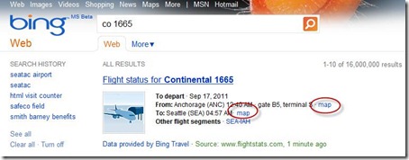
2. Search for your flight status on Bing (for example: CO 1665), and click on the map link besides the airport to see its map.

airportmaps3_v02

Airport Maps from your desktop

airportmaps_4

Airport Maps on Bing’s Flight Status

You can also view different levels within your selected venue by clicking the “Level” button at the top of the screen and then selecting the correct level from the provided list.
Sightseeing The busiest airports of 2011


Over the years, the folks at Google Sightseeing have continually produced excellent content. They tend to use Google Maps for their views, so we always like to see how their locations look in Google Earth as well. In the past year or so, we’ve shown you some of their items such as the set of “Wipeout” and exploring the deserts.

Their latest feature covers the Top 5 Busiest Airports of 2011. Living in Atlanta, home of the world’s busiest airport, these kinds of stories always interest me. The numbers shown below are the total number of passengers from January-May, 2011. Let’s get to the list.

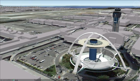
5. Los Angeleas International Airport (LAX) — 24,230,832

lax.jpg 

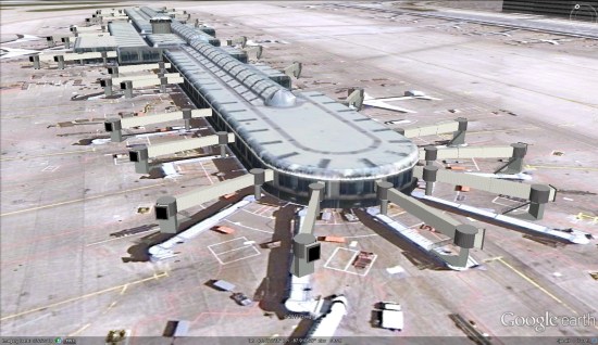
4. O’Hare International Airport (ORD) — 25,986,415

ohare.jpg 

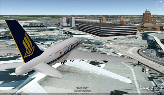
3. London Heathrow Airport (LHR) — 26,733,585


lhr.jpg 

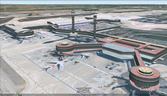
2. Beijing Capital International Airport (PEK) — 31,080,482

pek.jpg 

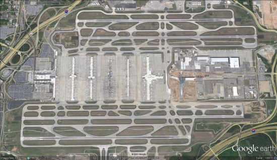
1. Hartsfield-Jackson Atlanta International Airport (ATL) — 36,548,629


atl.jpg 

Another neat image of the Atlanta Airport comes from the folks at Trendsmap. They captured all of the geo-located tweets in the Atlanta area over the course of a year, then plotted them against a dark background. The result is quite cool, as you can clearly see the various terminals of the airport, which are connected by underground tunnels. (details on Flickr)


atl-twitter.jpg 

For other interesting airports in Google Earth, check out the scariest airports in the Caribbean, or perhaps Peter Olsen’s amazing recreation of the 1977 Tenerife Airport disaster.


GoogleEarthBlog

Google Earth: New Imagery at the end of August


After going nearly a month between the last few sets of updates, Google apparently just pushed out some fresh imagery. Thanks to ‘Andreas’ for being the first to spot it.

Interestingly, this imagery isn’t very fresh. Andreas found a few locations in Germany with new imagery, but the imagery is from 2008 (replacing imagery from 2004, which is still visible on Google Maps). Perhaps Google just acquired this imagery from a new provider and they’re updating various areas with it?

berlin.jpg

As is usually the case, you can use Google Maps to determine for sure whether or not a specific area is fresh. This new imagery isn’t in Google Maps yet, so you can compare Earth vs. Maps to see what’s new; the fresh imagery is already in Google Earth, but the old imagery is still in Google Maps. If you compare the two side-by-side and they’re not identical, that means that you’ve found a freshly updated area in Google Earth!

[UPDATED – 24-August, 3:02pm EST]

  • Bosnia Herzegovina: Sokolac
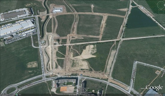
  • Germany: Berlin (BBI Airport), Schwedt, Templin
  • United States: Arizona (Quartzsite), California (Stockton, Modesto, Los Banos, Lake Tahoe), Kansas (Dodge City), Nevada (Carson City, Las Vegas, Reno), Texas (Pecos)