Google Earth: Imagery Update Week of July 18th

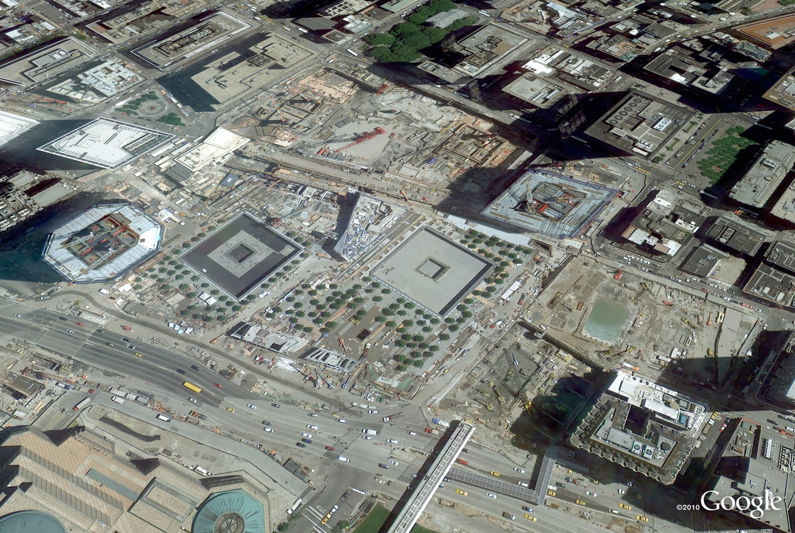
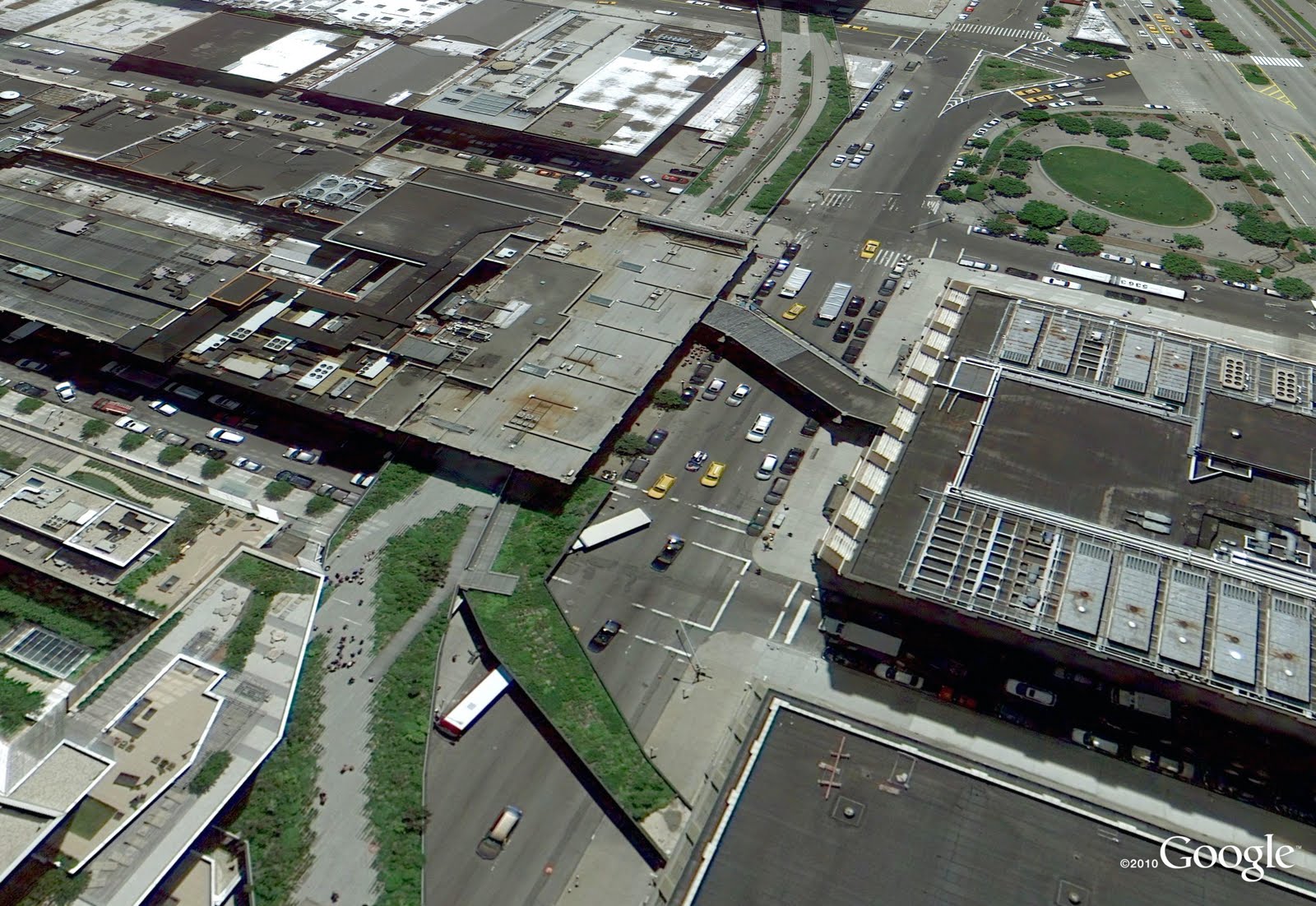
The Commissioners’ Plan of 1811 proposed a highly regular grid pattern as the layout for an island that was mostly farmland and wilderness in a still-young country. Two hundred years after the streets and avenues were dreamed up, the landscape of New York City has changed dramatically as skyscrapers have been built, parks have been planted and the population has increased by millions. Today’s latest batch of updated imagery reveals new, high resolution imagery of Manhattan. It’s now live in Google Earth and will appear in Google Maps soon.

Times Square has become much more pedestrian-friendly.

Construction at the World Trade Center site is making clear progress.
Google NYC is located in the Chelsea neighborhood of Manhattan. I’m one of more than 2,000 Googlers here (split between Sales, Engineering, and other functions), making us the second-largest Google location. (Care to join us?) The sales team sits in Chelsea Market, a former Nabisco factory where Oreos were invented and which envelops the elevated High Line, which was recently converted into a park.

This new batch of imagery also covers another Google hometown: Boulder, Colorado, home to the 3D team that brings you Google SketchUp and the Google 3D Warehouse. That team expanded two months ago across the street. 

Want to check out how these places used to look? Use the Historical Imagery feature of Google Earth to slide back the clock around the world. And as always, we encourage you to check out more of the areas that can be seen in our latest imagery update. Enjoy!

High resolution aerial updates:

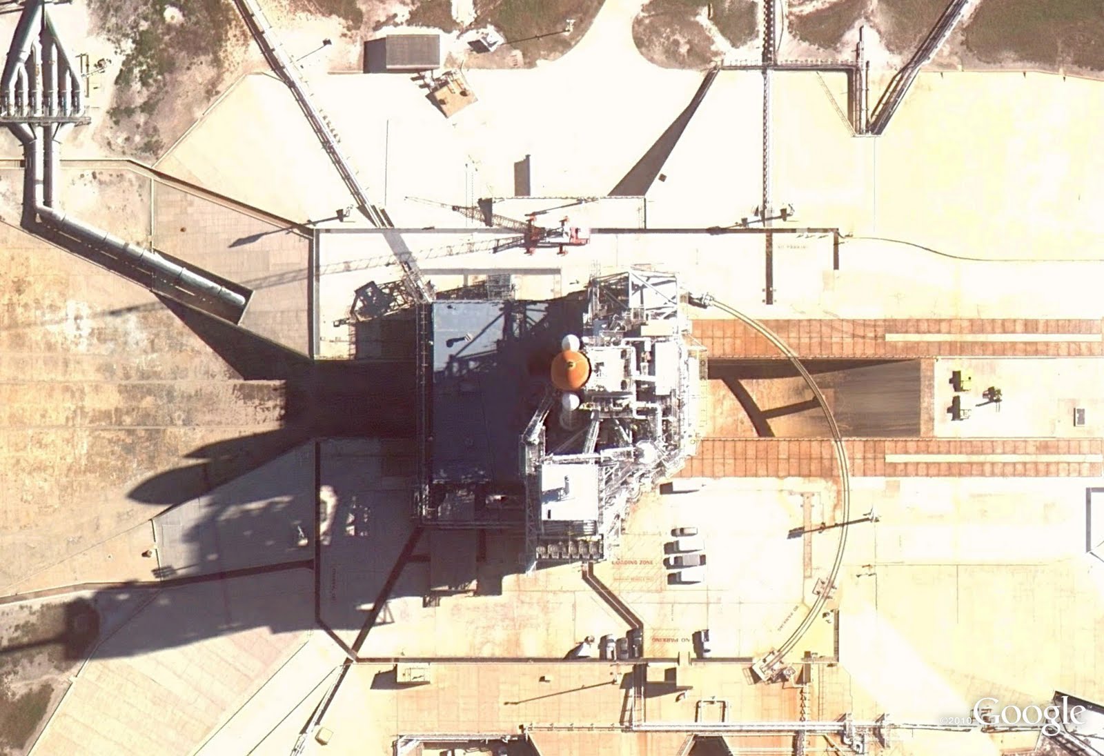
Boise, ID; Denver, CO; Topeka, KS; St Cloud, MN; Ashland, WI; Ironwood, MI; Flint, MI; Ft Wayne, IN; Cape Girardeau, MO; Bowling Green, KY; Glasgow, KY; Greenville, NC; Atlantic City, NJ; Syracuse, NY; Manhattan, NY

Countries/regions receiving high resolution satellite updates:

Canada, United States, Mexico, Cuba, The Bahamas, The Dominican Republic, Belize, Guatemala, El Salvador, Honduras, Nicaragua, Costa Rica, Panama, Colombia, Venezuela, Ecuador, Brazil, Peru, Paraguay, Bolivia, Argentina, Chile, Madagascar, South Africa, Lesotho, Swaziland, Namibia, Botswana, Mozambique, Zambia, Angola, Tanzania, Democratic Republic of the Congo, Uganda, Kenya, Somalia, Ethiopia, Sudan, Eritrea, Egypt, Niger, Burkina Faso, Ghana, Sierra Leone, Mali, Senegal, The Gambia, Mauritania, Morocco, Algeria, Yemen, Saudi Arabia, United Arab Emirates, Qatar, Kuwait, Jordan, Israel, Syria, Lebanon, Iran, Turkey, Russia, Finland, Sweden, Norway, Estonia, Latvia, Belarus, Ukraine, Poland, Hungary, Romania, Bulgaria, Greece, Albania, Serbia, Croatia, Austria, Germany, Italy, Switzerland, France, Spain, Portugal, England, Azerbaijan, Kazakhstan, Uzbekistan, Kyrgyzstan, Pakistan, India, Sri Lanka, Bangladesh, Nepal, China, Myanmar, Laos, Thailand, Vietnam, Cambodia, Malaysia, Taiwan, The Philippines, Japan, Korea, Indonesia, Australia, New Zealand

These updates are now available in Google Earth and coming soon to Google Maps. To get a complete picture of where we updated imagery, download this KML for viewing in Google Earth.

Imagery Update – Week of January 31

The Google Earth and Maps Imagery team has just released another aerial and satellite imagery update!

January is the month of resolutions and NASA has one of the biggest: to take us into the next age of space flight. Below is a high-resolution aerial image captured in December of the LC39A launch pad at the Kennedy Space center, Cape Canaveral Florida. Here we can see the Space Shuttle’s primary and secondary fuel tanks being readied for one of the shuttle’s last planned missions (STS-133; the last mission for Discovery), set for launch on February 23. We’re looking forward to publishing our first imagery of the Space Shuttle’s replacement, the CST-100.

The LC39A launch pad, Kennedy Space Center, Cape Canaveral, Florida

I’m a geologist by training, and so I particularly enjoy publishing new imagery of Earth’s more spectacular features such as the volcanoes shown in the perspective view below. They are part of the 23 volcanoes that comprise the Kirishima Volcanic Group in Kyushu, Japan. This field is particularly cool because it contains many different types of volcanoes, including stratovolcanos, cones, maars, and shields. You can use Google Earth to fly around these active structures, including flying right into their calderas, many of which are filled with crater lakes.

Perspective view of the Kirishima volcanic field, Kyushu, Japan

Finally, with all the cotton candy and futuristic exhibits, who wouldn’t want to attend a World’s Fair? Although there is no World’s Fair going on right now, we can check out the sites of previous World’s Fairs such as the 1982 World’s Fair site in Knoxville Tennessee. Below is an aerial image of one of the last remaining attractions of this fair, The Sunsphere. The Sunsphere is a 266 ft high hexagonal steel truss structure, topped with a 75 ft gold-colored glass sphere that serves as an observation deck. It’s been re-opened to the public and also now includes private offices with spectacular views.

The Sunsphere structure, World’s Fair Park, Knoxville, TN

As always, these are but a few examples of the types of features that can be seen and discovered in our latest batch of published imagery. Happy exploring!

High Resolution Aerial Updates:

USA:Champaign, IL; Lafayette, LA; Lakeland, FL; Knoxville, TN; Lexington, KY; Macon, GA; Palm Bay, FL; Sarasota, FL; Shreveport, LA; Springfield, MO; Toledo, OH

Spain: Catalunya (Catalonia)

Countries/Regions receiving High Resolution Satellite Updates:

Albania, Algeria, Andorra, Argentina, Armenia, Australia, Austria, Azerbaijan, Bahamas, Bangladesh, Belarus, Belgium, Bhutan, Bosnia and Herzegovina, Brazil, Bulgaria, Cambodia, Canada, Central African Republic, Chile, China, Colombia, Costa Rica, Croatia, Cuba, Czech Republic, North Korea, Denmark, Djibouti, Dominican Republic, Ecuador, Egypt, El Salvador, Estonia, Ethiopia, Faroe Islands, Finland, Macedonia (FRYOM), France, Georgia, Germany, Greece, Greenland, Guatemala, Haiti, Honduras, Hong Kong, Hungary, India, Indonesia, Iran, Ireland, Israel, Italy, Japan, Jordan, Kazakhstan, Kenya, Kyrgyzstan, Laos, Latvia, Lebanon, Lesotho, Libya, Lithuania, Macau, Malaysia, Maldives, Mexico, Moldova, Mongolia, Montenegro, Morocco, Myanmar (Burma), Nepal, Nicaragua, Nigeria, Norway, Oman, Pakistan, Papua New Guinea, Paraguay, Peru, Philippines, Poland, Portugal, Puerto Rico, Romania, Russia, Samoa, San Marino, Saudi Arabia, Serbia, Seychelles, Slovakia, Slovenia, Solomon Islands, South Africa, Spain, Sri Lanka, Sudan, Sweden, Switzerland, Syria, Taiwan, Tajikistan, Thailand, , Tunisia, Turkey, Turkmenistan, Ukraine, United Arab Emirates, United Kingdom, United States, Uzbekistan, Venezuela, Vietnam, West Bank, Western Sahara

These updates are currently only available in Google Earth, but they’ll also be in Google Maps soon. To get a complete picture of where we updated imagery, download this KML for viewing in Google Earth.

62BVYFTJQRKR