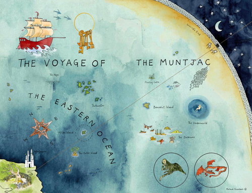
Author Lev Grossman interviews Roland Chambers, the artist who created the maps for his novels The Magicians and The Magician King (forthcoming).
Meanwhile, illustrator Mike Schley writes to share a link to maps he produced for children’s books.
Author Lev Grossman interviews Roland Chambers, the artist who created the maps for his novels The Magicians and The Magician King (forthcoming).
Meanwhile, illustrator Mike Schley writes to share a link to maps he produced for children’s books.
OpenStreetMap: Using and Enhancing the Free Map of the World
by Frederik Ramm, Jochen Topf and Steve Chilton
UIT Cambridge, 2010. Paperback, 352 pp.
ISBN 978-1-906860-11-0
 Last year saw the publication in English of two books about OpenStreetMap. This one, Frederik Ramm and Jochen Topf’s OpenStreetMap, saw three German editions before being translated into this English edition, which Steve Chilton assisted with.
This is a comprehensive manual on using OpenStreetMap and its data, covering everything from contributing user data to editing, to using and hacking OSM data on websites and in applications. In other words, it covers everything — though not necessarily in thorough detail, with lots of references to OSM wiki pages for more information.
Now I’ve always found the OSM wiki to be a bit overwhelming; I think that this book does a better job of getting people up to speed on using OSM than trying to navigate the wiki pages (which is how I got up to speed, and wished for something clearer). Those who spend a lot of time on OSM will do well to have this on their shelf.
I think OSM needs more contributors, at least in Canada, where edits I left unfinished months ago are unchanged when I get back to them. So I read this book with an eye as to whether it would help beginners contribute. The first two parts of the book do a very good job of introducing the mapping process — collecting tracks, editing map data — to beginners, or at least that’s my impression. I even learned a couple of new things, and I’m a little less trepidatious about using JOSM (all my edits to date have been with Potlatch).
But people who are only interested in uploading GPS tracks and editing the map, rather than using OSM data in mashups and applications, won’t need to read past page 160.
Things move fast in the tech world, and the book has already been overtaken in one regard: most of the examples use Potlatch 1, which has been replaced by Potlatch 2 as the default web editor; I had to work to remember how to use the old editor. Serves me right for taking so long to get to this review.
Google I/O is always an exciting time for developers. This year we made 34 separate announcements, including 7 new APIs:
With all of the recent API announcements, our API directory is getting quite long! However, some of our older APIs have been superseded by bigger and better things and others may not be receiving the necessary love.
As the web evolves and priorities change, we sometimes deprecate APIs – that is, remove them from active development – to free up resources and concentrate on moving forward. Today we’re announcing a spring cleaning for some of our APIs.
Note that the vast majority of Google APIs are not affected by this announcement.
Following the standard deprecation period – often, as long as three years – some of the deprecated APIs will be shut down. The rest have no scheduled date for shutdown, but won’t get any new features. The policy for each deprecated API is specified in its documentation.
Wherever possible, the documentation includes suggested alternatives designed to help you achieve similar functionality — whether it’s a new version or related offering. We hope these alternatives, along with lengthy deprecation periods, will help minimize the impact and allow us to focus on building great products together.