The University of Alberta

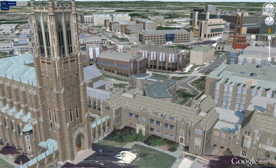
We’re big fans of 3D buildings and the realism that they add to Google Earth, and universities around the world are continuing to be the leaders in that area. Recently we showed you Terbuka University in Indonesia, and previously we’ve shown you excellent 3D campuses from Northeastern, the University of Wisonsin-Fox Valley, Central Florida and dozens of others.

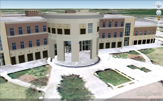
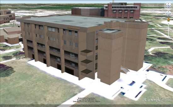
Today we’ll take a look at the University of Alberta. Lawrence Kwok emailed us to let us know that a team of himself and three other students (Max Amerongen, Matthew Hale and Veronica Krawcewicz) have modeled the majority of the campus, and it’s looking great!

u-a.jpg

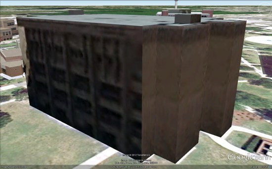
While the buildings are looking excellent, they’re far from finished. This summer they’re working through an initiative to redesign the online campus map. While the map currently has quite a lot of data in it already, they’re hoping to improve the mobile experience.

To explore their 3D buildings for yourself, you can visit this page on Google Maps or download this KML file to fly directly to it in Google Earth.

via: GoogleEarthBlog

The University of Central Florida 3D

As you certainly have seen by now, we love to show off awesome 3D buildings that our readers create. Recently we’ve shown you items such as the Evansville Central Library, the Costa Concordia and the Android statues at Google headquarters.

Today’s models come from Chris Sardinas at CS3Design. They’ve been working on modeling the campus of the University of Central Florida and they’re doing an amazing job with it.

One great example is the Health and Public Affairs Building, seen below. You can download it from the Google 3D Warehouse here.

health.jpg

Another excellent building is Colbourn Hall. This model already exists in Google Earth, though it’s fairly crude as you can see here:

colbourn-old.jpg

The new model from CS3Design looks far better!

colbourn-new.jpg

Many of their buildings are not yet in the default 3D layer in Google Earth, so they’ve put together a Warehouse collection to make it easy to find all of them.

An excellent 3D Campus Map in Duke University


Similar to other colleges we’ve shown you in the past, such as Northeastern University, Duke University has just unveiled their new 3D campus map and it’s quite impressive.


duke.jpg 

With the help of concept3D, the map has become an excellent source of information for the school. Powered by the Concept3D “CampusBird Atlas” CMS, Duke staff can edit the map and publish new information on their own. In addition, all data is mirrored between the Google Earth Plugin API and the Google Maps API on the site; it appears seamless to the end user, but it’s a tricky piece of work on the back end.

The map includes 3D models of 325 buildings across the campuses. The map also includes satellite views and traditional two-dimensional street maps and offers overlays that display details such as dining locations and parking permit requirements, photos related to the buildings and videos linked to specific campus locations.

The maps are only accessible via the Plugin (no downloadable KML), and you can view the new map here on the Duke website. In addition, the map is fully functional on mobile devices.