The space shuttle Atlantis is currently in flight on the program’s final voyage after launching from Cape Canaveral a few days ago, and NASA is providing some excellent tools to help track the shuttle in space.
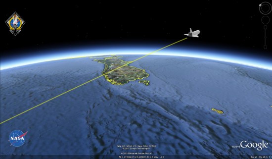
Fist, they’ve provided a replay of the STS-135 ascent , including quite a lot of data about the shuttle as it lifted off.
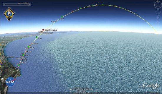
Even better, they’ve also provided a live tracking file that updates every few seconds so you can follow the exact location of the shuttle.
While this is the end of the shuttle program, NASA has a variety of missions planned for the next six months, including unmanned journeys to Jupiter and Mars. Hopefully they’ll provide this kind of data for those flights as well.
On a side note, I was made aware of this by Rob Mayeda on Google+. While Google Earth Blog isn’t yet allowed to create a profile over there (only humans for now), I share Google Earth-related material fairly often and I’d love to connect with you on there. If you need an invitation to access Google+, you can request one from this site.
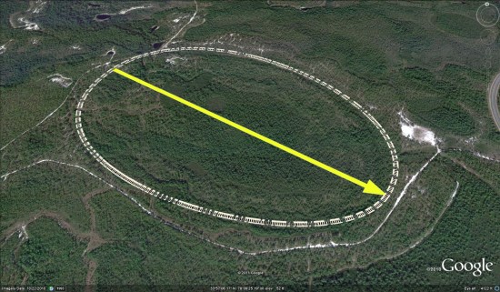
 To see the rest of them, you can pull individual KMZ files from