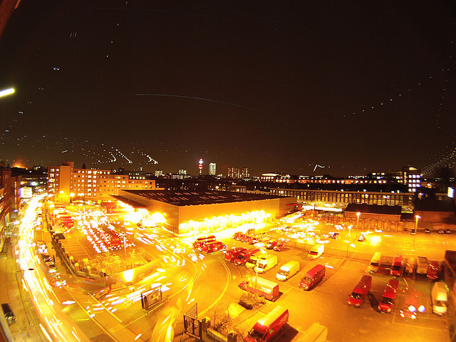
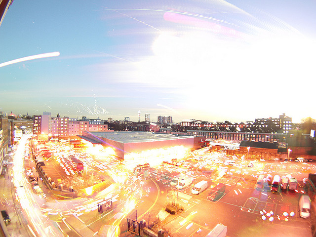
Mixing day and night images with the technique in astrophotography known as ‘star trails’ it is possible to capture a single image detailing both day and night activity. In the photograph below to the left is the moon streaking across the scene and the lights of aircraft at night, to the right is the sun with traffic captured below. Depending on your location the technique can create some interesting timelapse single views photographs, below we detail how to create your own.
You will need:
1 x Timelapse System, you can use a simple webcam as per our previous Tutorial: Torch + Webcam = HD Timelapse System a DSLR such as the Canon G9 with CHDK , a iPhone with the free Gorrilacam app or any camera that can take photos at regular intervals. We used a Go Pro HD camera in timelapse mode, taking a picture every 5 seconds.
1 x Copy of Photoshop, you can download a 30 day trial.
1 x Photoshop Stacking Action (thanks to Deep Space Astrophotography
Time Taken, 4 to 12 hours to capture, 2 to 6 hours to process.
The concept is simple, set up your camera, webcam or iphone at a suitable location, and capture an image at regular intervals, for our example we captured an image every 5 seconds pointing at the skyline of London. Capturing an image at least every 5 seconds is vital for star/aircraft trails as it allows for closer spacing between the lights in the final image.
We left the camera running for approximately 12 hours capturing 8000+ images, saved into a folder on our computer. Ours captured covered both day and night time, resulting in the following timelapse:
The next step is to open up photoshop, chose the images you want to use, and start stacking.
Image Stacking in Photoshop
The images will be stacked onto of an intially blank image via a simple automated action:
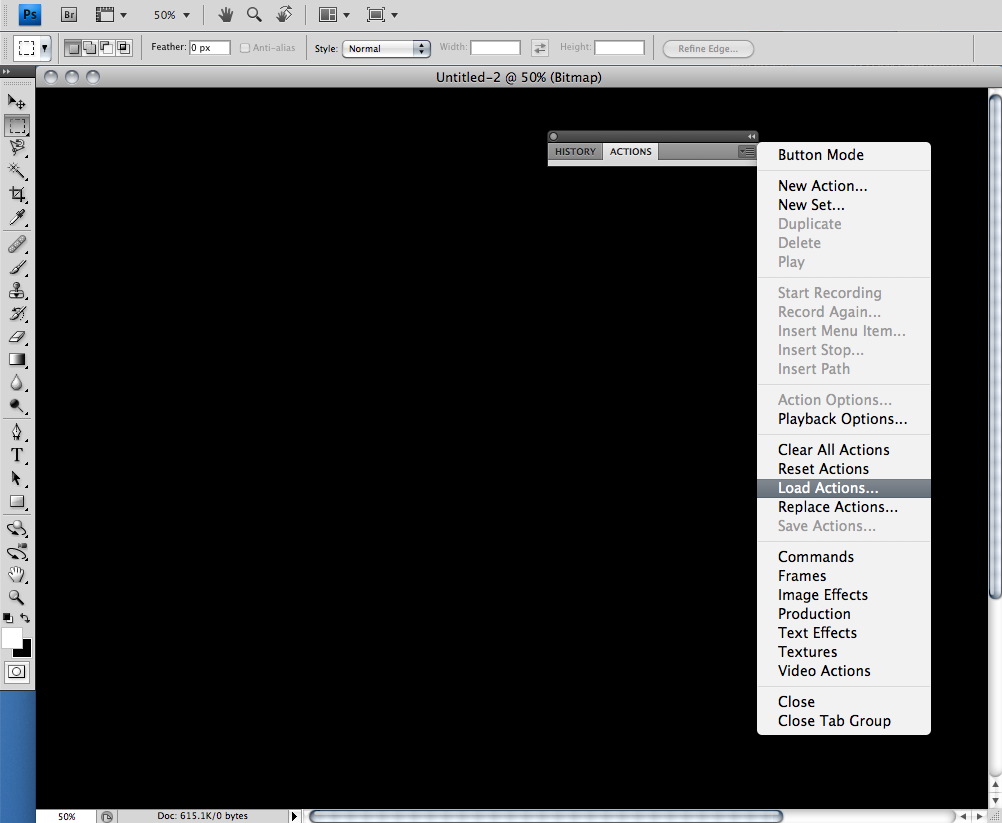
3) In Photoshop click ‘File’, ‘Automate’ and ‘Batch’. Select the action you have just loaded and choose your directory with the images as source and make sure you select ‘None’ for the output directory.