The New Google Earth Imagery – November


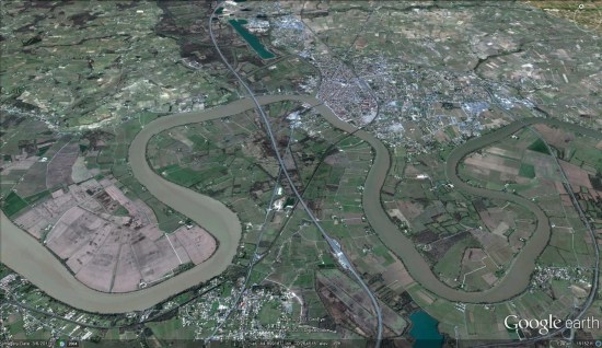
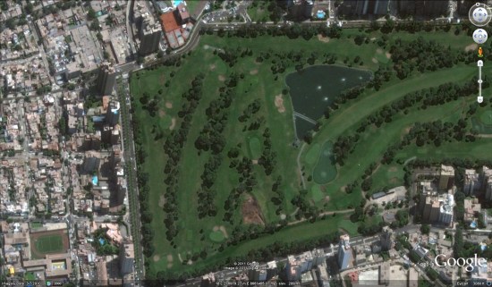
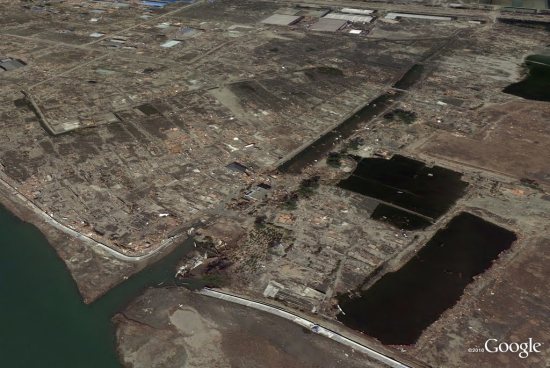
Despite the previous imagery update occurring  just a week ago, it appears that Google has pushed out a bit more new imagery. GEB reader ‘Andreas’ noticed some fresh imagery in a few places around the globe, but it’s been difficult to determine if it’s new to Google Earth or not. Most of the imagery is from about six months ago and it’s already in Google Maps, but none of it shows up in recent update files.


france.jpg 

Because the new imagery is already in Google Maps, it’s a bit more work to determine which areas are new. To figure out if a particular area is new, you can:
1: Look at the date in Google Earth for the imagery you think might be fresh.
2: Check the updates between then and now in the the update KML to see if it was released in a previous update. If it wasn’t, then it’s new!

[UPDATED — 10-November, 1:16pm EST]

  • France: Bourgoin-Jallieu, Libourne
  • Germany: Waldkraiburg/Landshut
  • Italy: Altamura

Google Earth: New Imagery – June

Thanks to sharp-eyed GEB reader ‘Jorge’, we see that Google has just released some fresh imagery into Google Earth!

lima.jpg

As is usually the case, you can use Google Maps to determine for sure whether or not a specific area is fresh. This new imagery isn’t in Google Maps yet, so you can compare Earth vs. Maps to see what’s new; the fresh imagery is already in Google Earth, but the old imagery is still in Google Maps. If you compare the two side-by-side and they’re not identical, that means that you’ve found a freshly updated area in Google Earth!


[UPDATED – 14-June, 11:35am EST]

  • Cambodia: Various areas — thanks ‘Rob’
  • North Korea: Pyonyang — thanks ‘junjun’
  • Peru: Lima — thanks ‘Jorge’
  • Romania: Small area near Sfantu Gheorghe — thanks ‘Popescu’

Google adds higher-resolution, post-earthquake Japanese imagery

In the past few weeks, Google has added a ton of new data and information related to the earthquake and tsunami that struck Japan. Much of that information is summarized here for you.

However, all of that has come in the form of add-ons to Google Earth, such as image overlays. In an effort to post data quickly, that is their best option. However, Google has now made their first major update to the base layer imagery with some brand new imagery from the area around Sendai:

sendai.jpg

The imagery was collected this past Sunday and Monday, so it was very quick work for them to get it posted already! You can visit Sendai to see it for yourself by flying there using this KML file.

Google is planning to publish more fresh imagery in the near future, and you can read more about that over on their Lat Long Blog.