Google Fusion Tables with Apps Script

I started with Apps Script in the same way many of you probably did: writing extensions to spreadsheets. When it was made available in Sites, I wondered whether it could meet our needs for gathering roadmap input from our sales engineering and enterprise deployment teams.

Gathering Roadmap Data

At Google, teams like Enterprise Sales Engineering and Apps Deployment interact with customers and need to share product roadmap ideas to Product Managers. Product Managers use this input to iterate and make sound roadmap decisions. We needed to build a tool to support this requirement. Specifically, this application would be a tool used to gather roadmap input from enterprise sales engineering and deployment teams, providing a unified way of prioritizing customer requirements and supporting product management roadmap decisions. We also needed a way to share actual customer use cases from which these requirements originated.

The Solution

This required bringing together the capabilities of Google Forms, Spreadsheets and Moderator in a single application: form-based user input, dynamically generated structured lists, and ranking.

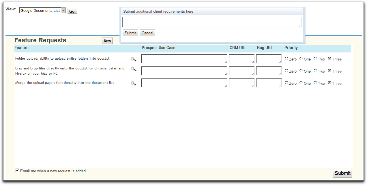
This sounds like a fairly typical online transaction processing (OLTP) application, and Apps Script provides rich and evolving UI services, including the ability to create grids, event handlers, and now a WYSIWYG GUI Builder; all we needed was a secure, scalable SQL database backend.

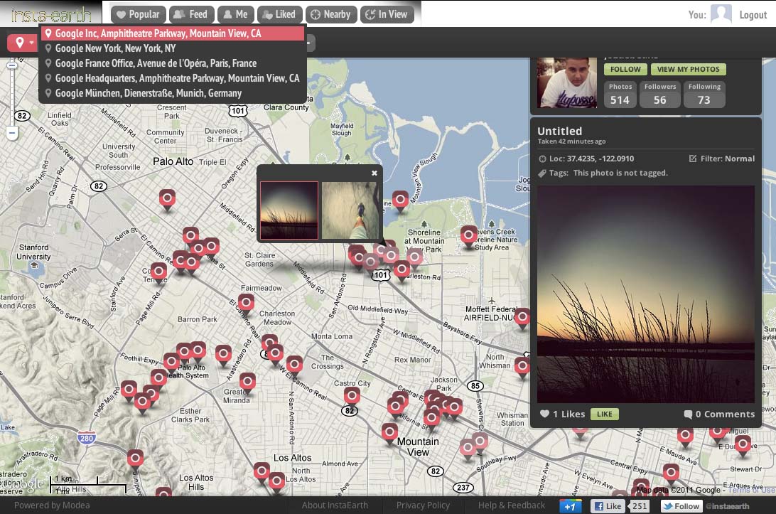
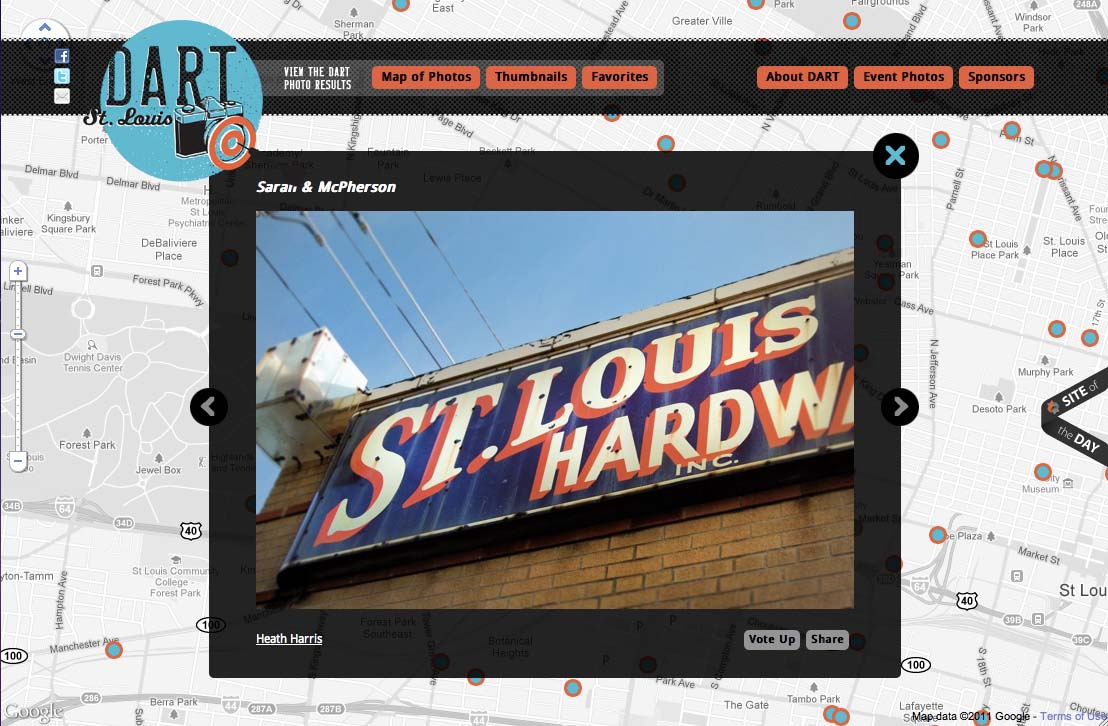
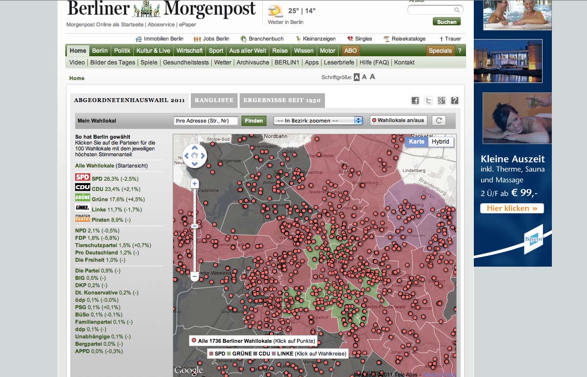
One of my geospatial colleagues had done some great work on a demo using a Fusion Tables backend, so I did a little digging and found this example of how to use the APIs in Apps Script (thank you, Fusion Tables Developer Relations).

Using the CRUD Wrappers

Full sample code for this app is available and includes a test harness, required global variables, additional CRUD wrappers, and authorization and Fusion REST calls. It has been published to the Script Gallery under the title “Using Fusion Tables with Apps Script.”

The CRUD Wrappers:

/**
 * Read records
 * @param {string} tableId The Id of the Fusion Table in which the record will be created
 * @param {string} selectColumn The Fusion table columns which will returned by the read
 * @param {string} whereColumn The Fusion table column which will be searched to determine whether the record already exists
 * @param {string} whereValue The value to search for in the Fusion Table selectColumn; can be '*'
 * @return {string} An array containing the read records if no error; the bubbled return code from the Fusion query API if error
 */
function readRecords_(tableId, selectColumn, whereColumn, whereValue) {

  var query = '';
  var foundRecords = [];
  var returnVal = false;
  var tableList = [];
  var row = [];
  var columns = [];
  var rowObj = new Object();

  if (whereValue == '*') {
    var query = 'SELECT '+selectColumn+' FROM '+tableId;
  } else {
    var query = 'SELECT '+selectColumn+' FROM '+tableId+
                ' WHERE '+whereColumn+' = ''+whereValue+''';
  }

  var foundRecords = fusion_('get',query);

  if (typeof foundRecords == 'string' && foundRecords.search('>> Error')>-1) 
  {
    returnVal = foundRecords.search;
  } else if (foundRecords.length > 1 ) {
    //first row is header, so use this to define columns array
    row = foundRecords[0];
    columns = [];
    for (var k = 0; k < row.length; k++) {
      columns[k] = row[k];
    }

    for (var i = 1; i < foundRecords.length; i++) {       row = foundRecords[i];       if( row.length > 0 ) {    
        //construct object with the row fields
        rowObj = {};
        for (var k = 0; k < row.length; k++) {
          rowObj[columns[k]] = row[k];
        }
        //start new array at zero to conform with javascript conventions
        tableList[i-1] = rowObj; 
      }
    }
    returnVal = tableList;
  }

  return returnVal;
}

Now all I needed were CRUD-type (Create, Read, Update, Delete) Apps Script wrappers for the Fusion Tables APIs, and I’d be in business. I started with wrappers which were specific to my application, and then generalized them to make them more re-usable. I’ve provided examples above so you can get a sense of how simple they are to implement.

The result is a dynamically scalable base layer for OLTP applications with the added benefit of powerful web-based visualization, particularly for geospatial data, and without the traditional overhead of managing tablespaces.

I’m a Fusion tables beginner, so I can’t wait to see what you can build with Apps Script and Fusion Tables. You can get started here: Importing data into Fusion Tables, and Writing a Fusion Tables API Application.

Tips:

  • Fusion Tables is protected by OAuth.This means that you need to authorize your script to access your tables. The authorization code uses “anonymous” keys and secrets: this does NOT mean that your tables are available anonymously.
  • Some assumptions were made in the wrappers which you may wish to change to better match your use case:
    • key values are unique in a table
    • update automatically adds a record if it’s not already there, and automatically removes duplicates
  • Characters such as apostrophes in the data fields will be interpreted as quotation marks and cause SQL errors: you’ll need to escape these to avoid issues.
  • About”) and column names to construct your queries

    via Ferris Argyle

The Art Of Google Maps

InstaEarth

Instagram is an exciting photography tool, but what really takes Instagram to the next level are applications like InstaEarth from Modea. InstaEarth is an easy way to search for and discover Instragram users and photos on a map. The application makes use of the Places API with Autocomplete to help users to search around a landmark or address. From InstaEarth, “InstaEarth is a way to discover and view beautiful Instagram photography taken around the world. View your feed, friends’ feeds, popular photos, or navigate the map and explore the world through the eyes of Instagrammers everywhere.”

TeleGeography – Submarine Cable Map

When you make a phone call or send an email abroad, most of the time that data travels by way of submarine cables. Submarine cables are the backbone of the global economy, so it’s fascinating to spend time exploring a map that shows where these cables are located. In addition to being a really interesting, fun, and a great looking map, this map is also technically savvy application. Each line representing a submarine cable is clickable and when selected grays out the other cables for better visibility. The map also uses Styled Maps to help the cables stand out better and Fusion Tables to help manage the data on the back-end.

DART St. Louis

There are two things I love to geek out on: maps and photography. That’s why I love this map from DART St. Louis. From their website, “In April 2011 over 250 creative St. Louisans gathered to throw darts at a huge map of the City of St. Louis. Participants then had one month to visit the area where their dart landed and make a photograph. The resulting collection of photographs shows a snapshot of St. Louis as it is today, one random block at a time.”

Berliner Morgenpost – Berlin Elections Map

This month we have yet another great map from Germany. Using Fusion Tables, Berliner Morgenpost mapped out the results of the September 2011 Berlin elections. Voting districts are colored coded by which political party received the majority of votes. Additionally, you can click on any one of the voting districts which will display an infowindow with a chart of the full voting results. This an excellent example of Google Maps API supporting the democratic process and bringing better transparency to government.

Dodge Journey Search

To promote the new Dodge Journey, Dodge is running a competition on YouTube where users can win one of three brand new Dodge Journeys. Video clues are released on YouTube to help users track down the secret location of the vehicle and if they find it, they own it. The clues are related to places in the real world, so users can rely on Google Maps and Places to help them figure out where the car is located. The Maps API serves as the hub of information for this competition and uses Styled Maps to match Dodge branding along with the Places API with Autocomplete to help users follow up on clues.

By Carlos Cuesta, Geo APIs Product Marketing Manager

Maps API for Flash


In the launch of Google Maps API for Flash in May 2008 they were responding to strong demand from ActionScript developers for a way to integrate Google Maps into their applications and exploit the performance and cross-platform strengths of Flash.

However use of the Maps API for Flash remains a small percentage of overall Maps API traffic, with only a limited number of applications taking advantage of features unique to the Maps API for Flash. In addition, the performance and consistency of browser JavaScript implementations has progressed, making the JavaScript Maps API an increasingly suitable alternative.

Consequently they have decided to deprecate the Maps API for Flash in order to focus our attention on the JavaScript Maps API v3 going forward. This means that although Maps API for Flash applications will continue to function in accordance with the deprecation policy given in the Maps API Terms of Service, no new features will be developed, and only critical bugs, regressions, and security issues will be fixed. We will continue to provide support to existing Google Maps API Premier customers using the Maps API for Flash, but will wind down Developer Relations involvement in the Maps API for Flash forum.

They understand that this decision will be disappointing for Maps API for Flash developers. Google hope you will consider migrating your applications to the Maps API v3, which offers many additional benefits such as Street View, Fusion Tables integration, Places search, and full support for mobile browsers. Developer Relations team and many skilled members of the JavaScript Maps API community are available to assist you in doing so on the Google Maps JavaScript API v3 forum.

Google remains supportive of Flash as a development platform for Rich Internet Applications for Chrome, Android, and other devices. However by consolidating our development on the Maps API v3 we can focus all of our resources on delivering great new Maps API features for the benefit of as many developers as possible.