Samsung Galaxy Tab – PvaWorld Huge Smackdown 2011

CLICK HERE : pvaworld.info Samsung Galaxy Tab Review: The Galaxy S™ 4G has a brilliant screen to entertain you, and an HD camcorder to capture and share the best moments in life. Whether you’re watching live sports, streaming your favorite shows, or video chatting face-to-face with Qik™, your on-the-go time just got better. Stream your favorite shows and NBA games on T-Mobile TV with mobile HD.

http://www.youtube.com/v/GuZucfYtCT0?f=videos&app=youtube_gdata

Bing Maps and the Open Map Community Connections

Recap – Automatic Road Detection

Before looking at the new front door application, a bit of history might be helpful about the recent direction that Microsoft’s mapping utilities have been taken. You may be aware that, a few months ago, Microsoft released an application that could be used to automatically detect roads from an aerial imagery photograph. The images below show an example output from the service when processing an imagery tile of part of the city of Norwich:
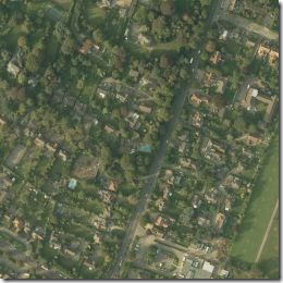
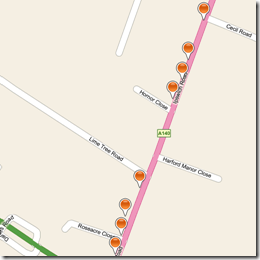


One interesting aspect of the service (remember this service is created and hosted by Microsoft, on their azure platform) is that the resulting points were provided in osmchangeformat – and could be used directly to import road data into Open Street Map. This would potentially allow OSM to create and mass import vector road data in previously unmapped areas automatically and easily, without the manual process of a user tracing the road path by hand.

The Front Door Application

The new front door application, which you can access at http://frontdoor.cloudapp.net/follows a similar model of utilising Bing Maps aerial imagery to potentially benefit the open map community…. how?

Anybody who accesses the site is presented with a random aerial image of a location, and is invited to drag a single pushpin onto the front-door of the nearest house. Here’s the image I was presented with when I went to the site just now:
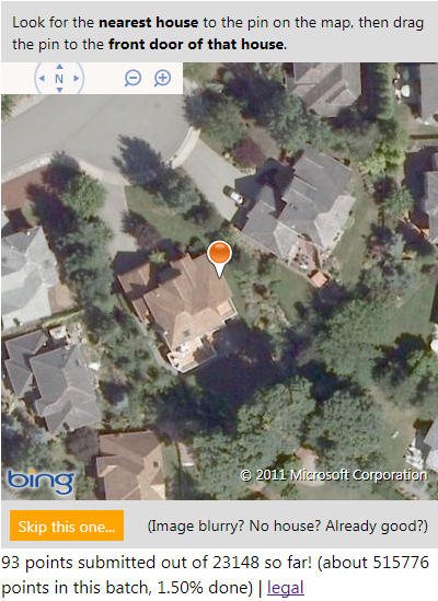
For this one, I’m going to say that the front door of the house is most likely to be just to the left of the driveway, so I dragged the pushpin to about here:
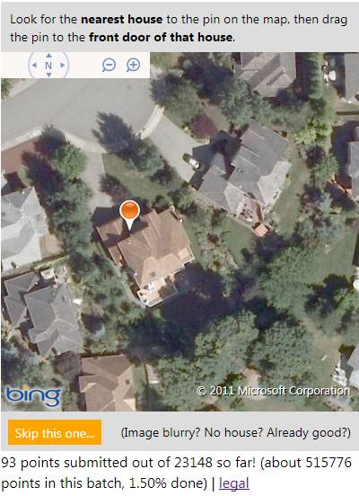
The new location is submitted, and you get shown a new image. What’s the point? Well, if enough people separately agree on the same location for the front door of this house, the new location is used to update local search results in Bing Maps as well as contributing address data to Open Street Maps – crowd-sourced, frontdoor geocoding of properties…

It’s great to see Microsoft continuing to make use of the Open Database Licence and contributing their imagery for use for the benefit of Open Street Maps again (Bing Maps aerial imagery is also available within the PotLatch OSM editor to enable people to trace the location of features and the outlines of building etc.), as well as thinking up innovative uses of the aerial imagery they have available… I wonder what app they might come up with next?

Google Earth Featured Geo-modeler: Mano Papanikolaou

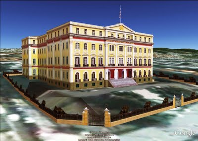
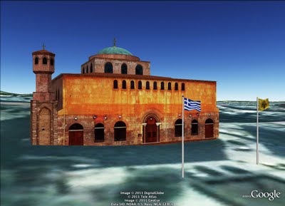
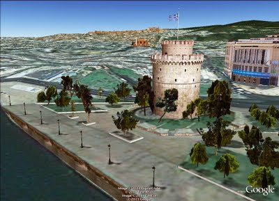
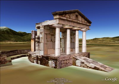
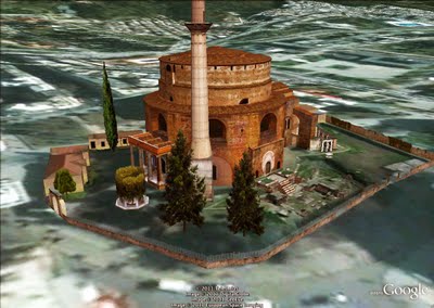
Mano “Pan” Papanikolaou has 32 models uploaded to the 3D Warehouse; 30 of those have been accepted into Google Earth’s 3D Buildings layer. Thank you for your passion and commitment Mano—you’re an inspiration for many!

It was four years ago when I discovered Google Earth and the few (back then) 3D models. I started modeling about two years ago because I realized that nobody in my country is modeling well enough and I wanted to try my skills. I never expected that I could have good critiques from the best modelers and that made me continue.

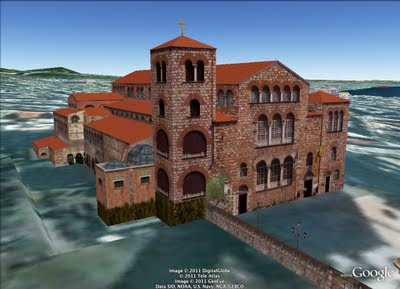
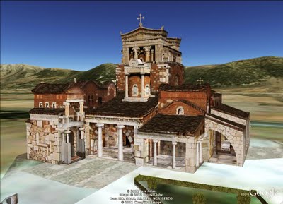
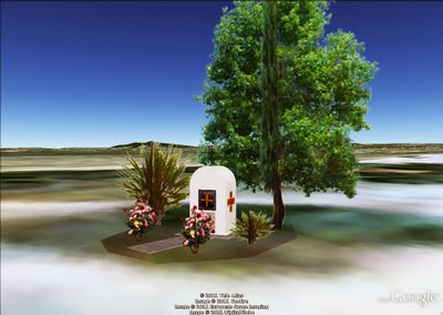
I uploaded my first model on August 11, 2009 and it included some 3D plants from the 3D Warehouse, like roses, palms and a tree. That was the reason why it was not accepted into Google Earth. I didn’t mind because I thought that it was an unimportant and small model and I preferred it with the 3D plants, rather than with with the “flat-crossed-png” ones! So, I went on to make more important buildings and there begins my 3D Warehouse story! Agia Sofia in my birth city, Thessaloniki, was my first accepted model!

As the first good comments came, I started to realize that I may make nice models! Every new model I did brought me more good comments (and commenters) and I started to become known to the community.

From me you will see mostly historical structures, always properly located and painted with the original photo textures i make myself. Simplified for Google Earth, but not losing the important details! I keep trying hard in every model to keep this “golden section”. I have a lot of patience to work hard and long if necessary for things I like. I “fall in love” with Google Earth at the first sight! When I realized what you guys are giving to us, I was very enthusiastic! I spend hours exploring the whole planet.

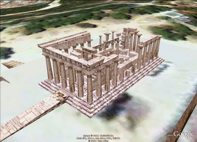
It’s difficult to name one favourite model; it’s like if I asked you which child of yours is your favourite! But in this model (below), I like the atmosphere and its compact architecture. Also, I like the simplicity and the variety of the details.

I just want to see good models of the most important buildings of my city and country and I want to make more people here to model in the right way. I also want to show the people that we have beautiful buildings here and that there is somebody from Greece who really likes to model for Google Earth. I’m not the only one who makes models, but I think that the opportunity to build in Google Earth is one of the best things an Internet user can do.