Google Maps continuously works to bring you real-life 3D representations of your favorite cities from around the world. Google Maps in 3D combines a functional map with stunning visuals. You can tour an increasing number of cities in 3D and experience the streets and sights right from your computer or Android device.
Since embarking on our 3D mapping efforts, we have amassed a collection of cities that allows you to feel like a jet-setter. We have recently expanded and improved this collection to include more cities in Europe and the US, to name a few. You can experience a few cities below.
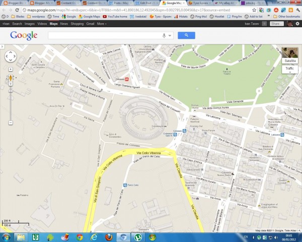
Hop on your scooter and take a romantic tour through Rome, Italy.
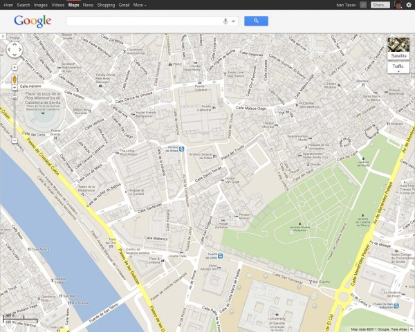
Tour Seville, the artistic, historic, and cultural capital of southern Spain.
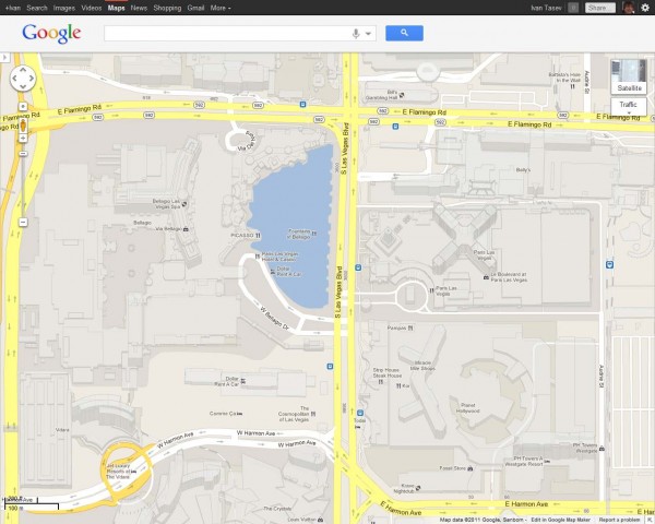
Or take a look at the casino resorts that dot the Las Vegas Strip which has also been updated with 45 degree satellite imagery as well.
New 3D maps coverage is available in:
US: Foster City, Honolulu, Las Vegas, Norfolk,Palo Alto, Portland, Redwood City, Riverside, Salt Lake City, San Antonio, San Diego, Santa Cruz, Sunnyvale.
Europe: Rome, IT, Rotterdam, NL; Seville, ES; Stuttgart, DE, Amsterdam, NL
