Mississippi floods: images and data

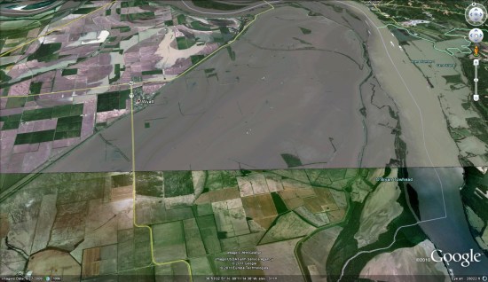
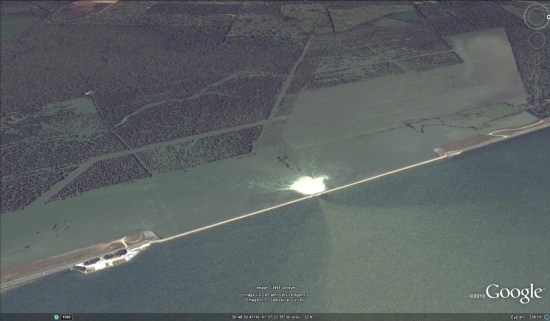
Emerging as one of the worst flooding events along the U.S. waterway in the past century, the Mississippi River floods of April and May 2011 have caused widespread destruction along the 2,300 mile river system. Historically high water levels from heavy rains and springtime snowmelt have provided no shortage of dramatic scenes — levees breached, downtown areas completely submerged, spillways opened, and more.


The Google Crisis Response team has assembled a collection of flood data including satellite imagery for impacted cities along the river from GeoEye, flood extent and crest data forecasts from the US Army Corps of Engineers (kml) and NOAA’s National Weather Service (kml), and shelter locations from the American Red Cross (kml).

Opened floodgate in Morganza spillway in Louisiana on May 15, 2011.

Cairo, Illinois on May 8, 2011.

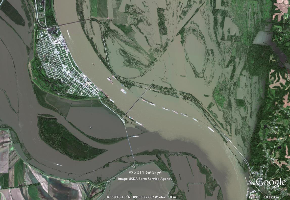
This collection of data is available on Google Maps by searching for “Mississippi flooding.” These data can also be accessed within Google Earth by turning on the ‘Places’ layer and flying to the Mississippi river south of Memphis, TN, or by downloading this kml to open in Google Earth.

Google Earth: Imagery from the Louisiana flooding

A couple of days ago we showed you the location of the Morganza Spillway and the expected flood area, and now some fresh satellite imagery is coming in to show what’s actually been happening.

morganza.jpg


The imagery comes via GeoEye, and covers various parts of the Mississippi River from Illinois down to Louisiana. You can view all of the imagery using this KML file that Google unveiled last night.

For more, you can check out some additional imagery that was captured on Sunday and shown on the NASA Earth Observatory site, or see it in Google Earth with this KML file (note — it’s a 4MB image, so it make take a few seconds to load).

The white area next to the spillway is whitewater being churned up by the fierce flow of water, and you can clearly see fields and other nearby areas that have been flooded. I expect we’ll see more imagery from this area in the coming weeks as the water continues to rise.

Google Earth: High-resolution imagery of the Mississippi River flooding

GeoEye has just released some brand new high-res imagery of the flooding that is happening near Cairo, Illinois, due to the rising Mississippi and Ohio rivers.


flooding.jpg 

You can view it yourself using this KML file, or read more on the GeoEye blog.

Based on text in the KML file, the image was captured two days ago, on May 8. That’s quick work to get it published so quickly! Fortunately for residents of the area, the river appears to have crested and should begin receding in the next 24 hours or so. Let’s hope it does.