The
Google Earth and
Google Maps Imagery Team has just published its latest batch of satellite and aerial imagery, and as always, there are all kinds of fascinating sites and features to check out.
It’s mid-May and summer is just around the corner. That means vacation! And since many of us like to head to the water for our leisure time, we’ve compiled examples of a few coastal areas that have received updated imagery in our latest release.
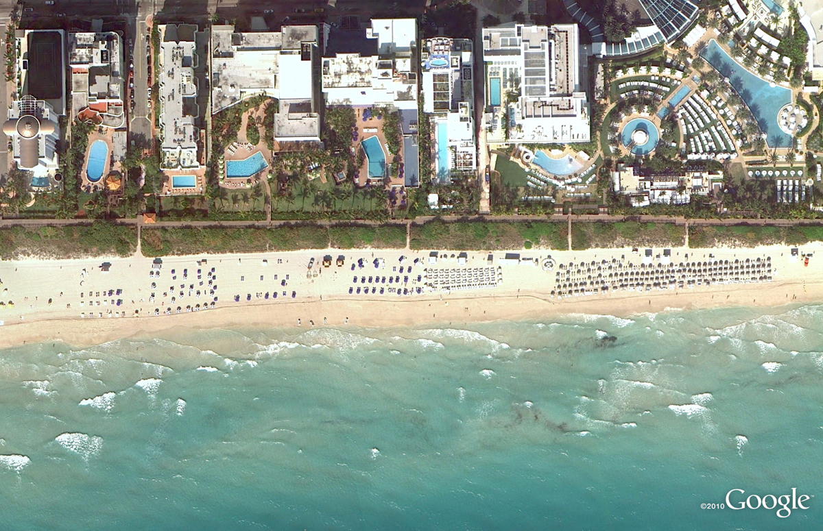
In the States, premiere beach vacation spots include the coral-sand beaches that line Miami, Florida. Below is a stretch of the world-famous South Beach within the City of Miami Beach’s City Center district. This high-resolution aerial image was taken this past March, during Spring Break.
44th St. Beach, Miami, Florida
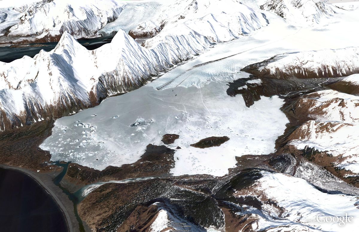
If hot, crowded beaches aren’t your thing, there are many cooler places (literally) you could spend your leisure time exploring. Below is a high-resolution aerial image from this past April of Bear Glacier in the Kenai Fjords National Park, Alaska. In this image, you can see the glacier toe as well as the ice, meltwater, and debris it deposits. This valley outflow glacier is sourced from the Harding Icefield, the largest icefield contained entirely within the United States. If you’re viewing this in Google Earth, be sure to use the Historical Imagery time slider to view how the glacier’s size has changed over time.
Bear Glacier, Kenai Fjords National Park, Alaska
Finally, here’s a recent satellite image of the entertainment center in the bustling coastal city of Qingdao, in the Shandong Province, China. The city was named China’s most livable city in 2009, and from the image below you can understand why; there are many places to enjoy such as beaches, sport complexes, and the beautiful public space, Hui Quan Square. Indeed, a nice place to visit and explore on your next summer vacation – whether it’s in-person or online. When viewing this area in Google Earth or Maps, you can also explore other parts of the image, such as the finishing touches being put on the Haiwan Bridge, the world’s largest water bridge, spanning 26.4 miles.
Hui Quan Square, Qingdao, China
Do you have a place you love for which you’d like to receive a notification when the Earth and Maps Imagery team updates the site? We’ve got just the tool: The Follow Your World application!
As always, these are but a few examples of the types of features that can be seen and discovered in our latest batch of published imagery. Happy exploring!
High Resolution Aerial Updates:
USA: Myrtle Beach, Miami, Palm Beach, Lake City, Lynchburg, Lenoir, Dallas, Grand Rapids, Anchorage, Kenai, Tyonek
Countries/Regions receiving High Resolution Satellite Updates:
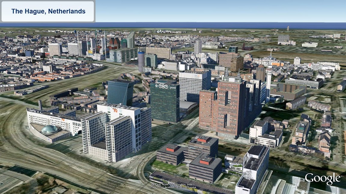
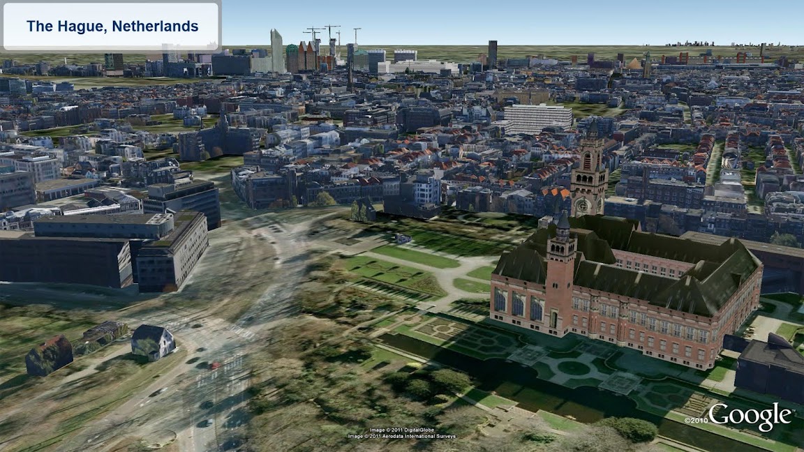
Albania, Algeria, Angola, Antarctica, Argentina, Australia, Austria, Azerbaijan, Bahamas, Bangladesh, Belarus, Belize, Benin, Bhutan, Bolivia, Bosnia and Herzegovina, Botswana, Brazil, Bulgaria, Burkina Faso, Canada, Cape Verde, Chad, Chile, China, Colombia, Costa Rica, Croatia, Cuba, Cyprus, Côte d’Ivoire, Democratic Republic of the Congo, Djibouti, Dominican Republic, Ecuador, Egypt, El Salvador, Eritrea, Estonia, Ethiopia, Fiji, Finland, France, French Guiana, Gambia, Germany, Greece, Grenada, Guam, Guatemala, Haiti, Hong Kong, Hungary, Iceland, India, Indonesia, Iran, Ireland, Israel, Italy, Jan Mayen, Japan, Jordan, Kazakhstan, Kenya, Kuwait, Laos, Latvia, Lebanon, Lesotho, Lithuania, Madagascar, Malawi, Malaysia, Mali, Mauritania, Mexico, Moldova, Mongolia, Morocco, Mozambique, Myanmar, Namibia, Nepal, Netherlands, New Caledonia, New Zealand, Niger, Nigeria, North Korea, Norway, Pakistan, Palmyra Atoll, Panama, Papua New Guinea, Paraguay, Peru, Philippines, Poland, Portugal, Qatar, Romania, Russia, Samoa, Saudi Arabia, Senegal, Serbia, Slovakia, Slovenia, Somalia, South Africa, Spain, Sri Lanka, St. Helena, St. Vincent and the Grenadines, Sudan, Suriname, Svalbard, Swaziland, Sweden, Switzerland, Syria, São Tomé and Príncipe, Taiwan, Tanzania, Thailand, Trinidad and Tobago, Tunisia, Turkey, Uganda, Ukraine, United Arab Emirates, United Kingdom, United States, Uruguay, Venezuela, Vietnam, West Bank, Western Sahara, Yemen, Zambia, Zimbabwe
These updates are now available in both Google Maps and Google Earth. To get a complete picture of where we updated imagery, download this KML for viewing in Google Earth.