Draggable Routes Demo – Bing Maps API – Windows Azure

Bing Maps API – Draggable Routes Demo

Bing Maps Draggable Route
Routes can now be made draggable

“Many people like the drag-able routes in the consumer facing implementation of Bing Maps. This feature basically allows you to mouse over a route-path and drag a point to a location that you want to drive past. “

Bing Maps Dragged Route
Dragged Route – Auto re-calculation of the route.

Multi-waypoint routing in Bing Maps. You can have up to 25 waypoints, 27 including start point, an endpoint and up to 25 points in between within a single route-calculation. When the route is dragged the API re-calculates the route and basically adds an additional waypoint into the route.

Draggable Routes Bing Maps Demo
http://talkingdonkey.cloudapp.net/BM-AJ-Drag-able-Route/Default.htm

Source with Code with thanks to Johannes Kebeck
http://johanneskebeck.spaces.live.com/blog/cns!42E1F70205EC8A96!12519.entry

Some amazing rides in Street View

A few days ago, Google Sightseeing posted a few of their “most breathtaking rides” in Street View and they certainly found some great areas.

As you know, Google Earth 6 greatly enhanced the way that Street View works inside of Google Earth, allowing you to “drive” the routes much better than you can in Google Maps.

streetview.jpg

Even better, Google Sightseeing has put all of the locations they highlighted (plus a few extra) in a KML file 
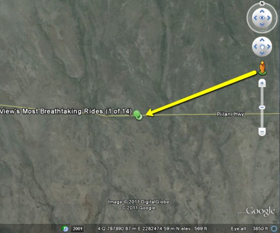
for you to download. The only problem is that each location is a simple placemark, and doesn’t fly you directly into the Street View imagery.

Fortunately in Google Earth 6 it’s a simple fix! Just drag “peg man” from the top right corner of your screen onto the road they’ve highlighted, and you’ll instantly be taken into Street View mode, as shown below:

move-peg-man.jpg

Google Earth has an abundance of amazing sights to see, and this is another great example of that. Thanks to the Google Sightseeing guys for putting together the list of breathtaking rides!

Amtrak Routes as Subway Diagram

Amtrak Passenger Rail System

Cameron Booth writes: “A while ago, you featured my U.S. Interstates as London Underground Diagram poster on The Map Room. Along a similar line, here’s a link to my latest project: a subway-style map of Amtrak’s passenger rail routes. It shows every station and also clearly shows which routes serve them, using the familiar color-coding of a subway map. (Neither of which Amtrak’s current, geographically accurate service map does!)”

Previously: U.S. Interstates as Tube Map.

Amtrak Routes as Subway Diagram first appeared on The Map Room: A Weblog About Maps on November 6, 2010. Copyright