Beautiful Google Earth Layers 1


Download KML


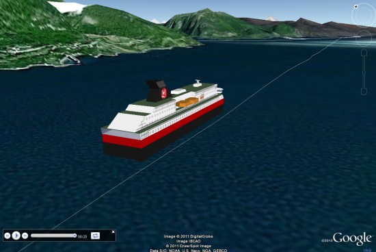
marinetraffic.com track of the vessel, equipped with an automatic identification system (AIS) transponder, which is currently required for vessels of more than 299 gross tons. Data are presented for each ship includes:

Name of vessel and flag
ship Type
Speed ​​and course
photos of the ship
Link to more detailed information about the ship

The data is collected about 500 ground-based receiving stations around the world, so it does not include ships, which far out at sea or in remote areas. But it’s still an impressive amount of data.

Many other features can be found their website, including the version of Google Maps data, which shows a bit more information and a few features missing in Google Earth.

Google Earth: Tracking the Hurtigruten along the coast of Norway


In what’s becoming quite a popular event, the cruise liner Hurtigruten has been live broadcasting its position as it travels along the coast of Norway. The cruise line has been operating for well over 100 years, and this event has been apparently drawing large crowds at its stops, and is becoming quite the event in Norway.

The site itself is very well built. You can follow of a map of the journey, view various live cameras from the ship, and even view a live 3D model of the ship’s location: just click on the 3D tab in the lower right, then click the resulting image to see the ship in 3D.


hutigruten.jpg 

As pointed out by Google Maps Mania, you can click the red icons on the map to view a replay of that section of the journey. The scenery in Norway is stunning, and this is a great way to view it all.

There are also other elements that can be added to the map, such as Flickr photos, archived video, and the location of other boats in the area. Some of the photographs in there are simply amazing, as shown here:

hurtigruten-flickr.jpg 

To see it for yourself, simply head over to their site and you’ll be streaming the live feed almost immediately.

(via GMM and Ogle Earth)