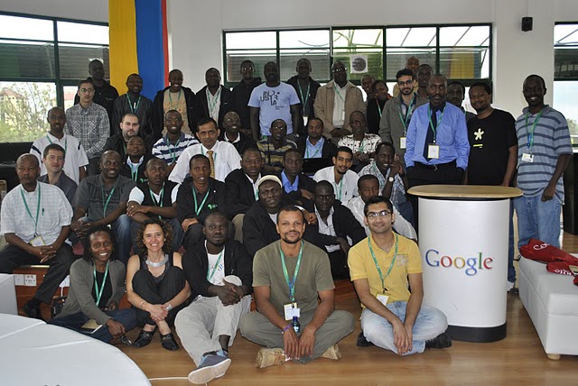
Earlier this month, we invited 60 of Google Map Maker’s top users in Africa to a community workshop in Nairobi. The event celebrated the contributions of exceptional mappers from across Africa who have collectively mapped hundreds of thousands of roads, cities and buildings, covering more than half the population in Africa. Participants from places including Burkina Faso, the Democratic Republic of Congo, Ethiopia, Gambia, Kenya, Morocco, Uganda, Rwanda, and Tanzania came together for this unique and inspiring opportunity to tell their stories, learn from each other, and share their mapping experiences using Google Map Maker. Check out the the Super Mappers Conference site for more details.
Meeting these passionate online mappers inspired all of us to think not only about creating maps to fulfill a practical need, but also about why we map and the deeply personal stories a map can tell. During these two days, we traveled to places that we perhaps may never see in person, but now mean more to us when we see them on a map because of the stories of mappers such as Noé Diakubama.
Noé grew up in the Democratic Republic of Congo (formerly Zaire), a country that has suffered many years at war. He is now living in Belgium and proud to give back to his country and people via mapping.
His mapping story began in Mbandaka, where he grew up. Noé liked to walk. Walking was about exploration and discovery. And Noé had many places to go, including secret spots to find wild vegetables and the EALA botanical garden. But without a map it was easy to get lost, so he could never wander too far from home. With his uncle, Noé sketched a small paper illustration of Mbandaka and its landmarks – that was his first experience with mapping! A few years later, he was surprised to find Mbandaka poorly represented on Google Maps; it only showed the city airport and two roads. Using Google Map Maker, he began mapping the roads by himself, and then asked friends and family to help him with adding local roads, their names and so on. Together, they created the first map ever of Mbandaka!

When I asked Noé why he maps, he replied:
Everyday, I spend hours and hours in front of my computer… mapping. My rewards include seeing a smile on the face of someone who sees for the first time the name of his/her street on the Internet, and knowing that someone benefited from the maps I created – kids journeying in the neighborhoods, business owners, or tourists. And ultimately, I want to see Africa being mapped and these maps made accessible to everyone. My message to other Africans: don’t be just a spectator, let’s all share our knowledge and start mapping cities and remote areas. We will soon, together, complete the mapping of our continent!
I’m used to seeing maps and thinking of them as a collection of edits or points of interests. It was an incredible feeling to personally meet and interact with the people behind the creation of the many dots on our maps. This was a gentle and welcome reminder that maps are not static. They’re alive, they’re personal, and they tell the stories of the people who create them. Mapping allows each of us to be a driving force for change and growth in both our immediate communities and the rest of the world. Let’s continue mapping, let’s stay connected through the Map Your World Community, and let’s continue doing amazing things together!
Posted by France Lamy, Program Manager, Google.org