How to find 3 UFOs at Area 51 using Google Earth Map, UFO Sighting of 2010.

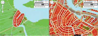
This video teaches you how to find these three UFOs at Area 51. Understand this information has just now hit the public because of me, so it will be a matter of about 3 months or less before Google sees this video and deletes the UFOs from their satellite mapping system. From the other UFOs revealed using Google map, that is my experience.

http://www.youtube.com/v/wJpKBKHGSr4?f=videos&app=youtube_gdata

Mapping History with Google Maps

Maps & Motion


Maps+Motion is a great way to visualise the growth of Dutch cities and Manhattan in New York with Google Maps.

Essentially the application allows you to view side-by-side the modern maps of cities with maps of how the cities looked at different times in history. The screenshot above, for example, shows a map of 1450 Amsterdam with a modern map of the city.

The application currently allows you to view the historical growth of Den Haag, Harrlingen, Amsterdam, Leiden, Rotterdam and Zuiderzee in the Netherlands and Manhattan in the USA.

Google Maps: How Late Your Bus Is?

Waiting for your bus can sometimes seem like slowly dying in a desert as you watch vehicle-shaped mirages glimmer on the horizon. As a remedy for that transit-parched feel, Google is integrating live transit updates into Maps for mobile and desktop.


Before you get all excited, the update is only available in four U.S. cities (Boston, Portland, San Diego and San Francisco) and two European cities (Madrid and Turin), and for Google Maps for mobile on Android devices (although it will work on mobile browsers, and it doesn’t require any downloads to access).

Citizens of those cities will be able to see delays and alerts when clicking on transit stations or planning routes, as well as “live departure times.”