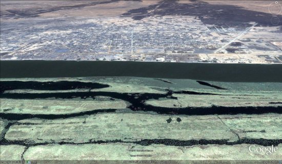
In the past few years, Google has been working harder than ever to provide high-quality imagery to help in various relief efforts, such as the earthquake in Haiti, the Yazoo City tornado and the Qinghai earthquake.
They’re at it again with some amazingly fresh imagery from Sudan, to help the various humanitarian organizations on the ground over there. The new imagery went up just a few days ago, and the imagery from Sudan was less than two weeks old at that point! If you understand how Google Earth imagery works, you’ll agree that it’s a remarkably fast turnaround.

Over the years, we’ve had users ask why this kind of imagery is useful to those working on the ground. Google has provided a list of potential uses for this imagery, which they stated in a recent blog entry:
In Melut, there is a humanitarian hub where many services are delivered to at risk populations, including food, water, health care, education, and more. Given the varying needs of each of these services, maps can provide a variety of planning benefits for expansion, staff safety, and emergency procedures.
Google is asking for your help to build other tools to assist those in Sudan, such as using Map Maker to help map out the various roads and natural features in the area. A full list of tools available can be found here.
If you’d like to fly to Sudan in Google Earth to see the new imagery for yourself, you can use this KML file![]() to fly to Melut.
to fly to Melut.