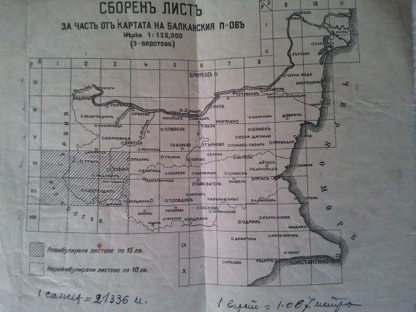
Topographic map of Bulgaria from 1933
Couple of days ago I succeed to buy a complete and without missing a single sheet Military topographical map of Bulgaria since 1933.The card is 3 – verst. The projection is Conical Bonne. It has isolines, the map scale is 1:126000 and the units are verst and sagens- Russian measures of length and height. It consists of 48 map sheets and map key. On maps are marked railways, highways, roads and bridges. Areas of lakes and rivers are lined, also and boundaries. Forests are marked by circles of different sizes. Non scale topographical symbols were used for marking cemeteries, churches.
As it is interesting that after two-day struggle and a lot of reading I was able to estimate longitude. Marked longitude degrees should be added to longitude of Observatory in Pulkovo and the difference of which calculated is already real UTM longitude coordinate in this map. I’m planning in the time to impose all of the map sheets as a google maps layer.
