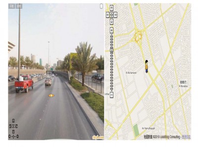
Www.City8.com is released in 2006, one year earlier than google street view. It covers 41 cities of China with 1 million UV per day. It combines panoramic street view and 2D map. By clicking and dragging you could view the whole 360° FOV and walk around the neighborhood. And hotspots could be added and indexed by users
Urban, city and town planning integrates land use planning and transportation planning to improve the built, economic and social environments of communities. With City8 system, it’s easier to collect and restore all the data in a visible way.
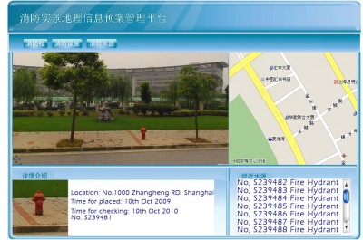
Many public assets need to be inventoried and maintained.City8 provides a perfectly platform including panoramic images, position, management, status to make information closer to you.
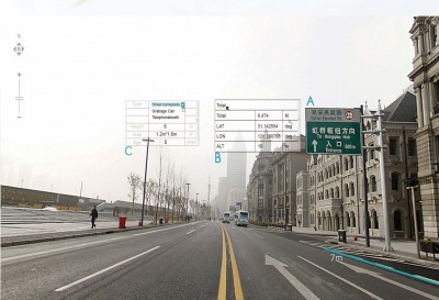
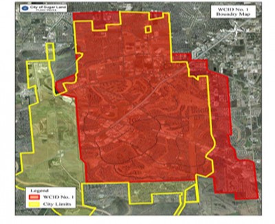
City8 providing high accuracy of GPS with measurable panoramic images to complete the mapping of boundary in a high efficiency.
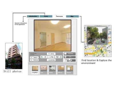
As an extension to indoor 360° virtual tour, City8 reduces the time and effort spent by agents and clients driving around the streets. This offers not only the indoor panorama, but also introduction of the house, exterior of the building, location of the map, reality of nearby shops, restaurants, banks and various facilities.
