We recently made a trip to Manila to help out with the 3D Philippines Initiative started by COMMDAP. The initiative’s goal is to create an entirely 3D Philippines using Google SketchUp and Google Earth so that information can be shared and experienced in a richer way than with just a basic map. It was an action-packed three-day schedule.
The first event was a general geo-modeling presentation for students and teachers at the University of Makati, which was part of the school’s “Technology Week”. The second event was a presentation to the Google Technology Users Group of the Philippines on geo-modeling and becoming a Geo 3D developer.
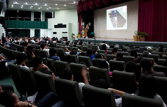 Me (Nicole) onstage presenting the basics of geo-modeling
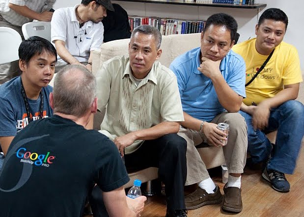 Bruce Polderman answering questions about certification for Geo 3D developers
Next, we held two full-day workshops at the university: one for educators and trainers and one for students. These workshops focused on developing basic modeling skills by means of an introduction to SketchUp, but we taught aspects of photography, photo editing, and other techniques specific to geo-modeling as well.
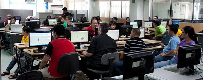 Teachers’ workshop at the University of Makati
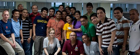 Group photo with the teachers
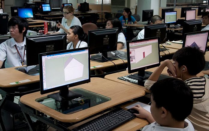 Students’ workshop at the University of Makati
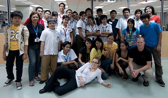 Group photo with the students
Concurrently, COMDDAP was hosting the Manila Expo 2010. There, they had a designated area where visitors could learn about Google Earth and explore the virtual globe both on a standard computer AND on a super-cool interactive touch-sensitive projection white board.
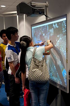 Now THAT’S a touch screen!
Take a look at this photo album for more pictures of our visit to the Philippines.