Monetize your Maps API v3 application with AdSense for Maps

Many existing websites that use the Google Maps API also use Google AdSense to monetize their site. AdSense uses the content of pages to determine the best ads to show for that audience. However there is valuable additional context offered by the location of the map. When a map is centered on the Napa Valley for example, ads relating to wineries may be more relevant.

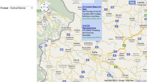
In response to this we are happy to bring AdSense for Maps to Maps API v3. The Maps Ad Unit overlays a set of AdSense ads on the map, in any of the supported formats. You can control where on the map the ads are placed, and the ads shown are based on the current map location. It is a simple way to monetize your maps with unintrusive and relevant advertising.

To use the Maps Ad Unit you must have an AdSense account that is enabled for AdSense for Content. If you do not have an AdSense account, you will need to sign up by filling in this form. Once you have received your AdSense publisher id, take a look at the documentation to see how to add the Maps Ad Unit to your Maps API application. As always if you have any questions or need help, we recommend posting to the Maps API v3 forum.

You may also notice that we’ve given the map type control and Google logo a refresh in this release. The new map type control is more compact and extensible, easier to use on touch screen devices, and consistent in look and feel with our other controls. We hope you like it!
The Year 2010 in Google Earth

Google Earth had another fantastic year in 2010 in terms of new features along with an amazing amount of content! The amount of new content Google has added in a single year is almost too large to comprehend. We wish we had detailed statistics on just how big it is, but Google doesn’t usually release their content statistics. New imagery released during the year covered millions of square miles across all seven continents. And, not just current imagery, but in some cases multiple instances for different years going back several decades.

Also in 2010 we saw the release of Google Earth 6 and it’s many great new features, tons of new 3D buildings released covering nearly every major city in the world, Street View was greatly expanded world-wide, SketchUp got some excellent new features, and dozens of applications using the Google Earth plugin were released.

Read the full entry to see our most popular posts and tips on Google Earth from each month in 2010.

New Geospatial One Stop (GOS) Features Add Content to GIS and Mapping Applications

Check out the What’s New page on the Geospatial One-Stop Portal (GOS). It has some new features that focus on making the content more accessible for use outside of the website context.

What I specifically like is the new capability to perform searches in GOS from external Web applications using a REST API. The new REST API allows you to issue a simple URL string request to GOS and receive responses in any of three formats: GeoRSS, KML, or HTML.