As pointed out by GEB readers ‘Munden’ and ‘Steven’, Google has just pushed out some fresh new imagery!
As is usually the case, you can use Google Maps to determine for sure whether or not a specific area is fresh. This new imagery isn’t in Google Maps yet, so you can compare Earth vs. Maps to see what’s new; the fresh imagery is already in Google Earth, but the old imagery is still in Google Maps. If you compare the two side-by-side and they’re not identical, that means that you’ve found a freshly updated area in Google Earth!
[UPDATED — 17-November, 3:01pm EST]
- Argentina: Buenos Aires — thanks ‘Daniel’
- Austria: Vienna — thanks ‘Joeran’
- Canada: Saskatchewan — thanks ‘Steven’
- China: Various areas — thanks ‘Munden’
- Faroe Islands: — thanks ‘Munden’
- France: Bretagne — thanks ‘Martin’
- Indonesia: Southern part of Jakarta — thanks ‘okasbali’
- Romania: Timisoara — thanks ‘twist3r’
- Russia: Losino-Petrovsky, Lugovaya, Mendeleyevo, Monino and Povarovo — thanks ‘Munden’
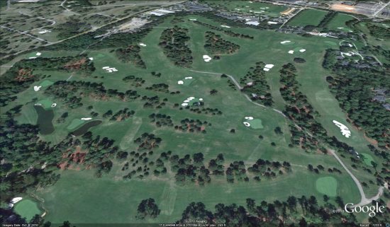
- United States: Georgia (Augusta), Indiana (Evansville), Louisiana (Baton Rouge), New Jersey (Trenton), North Carolina (Wilmington), South Carolina (Charleston, Columbia), Texas (Fort Hood), Wisconsin (Madison) — thanks ‘Dan’, ‘McMaster_de’, ‘Munden’, ‘Scott’ and ‘Steven’
If you find any other updated areas, please leave a comment and let us know!