Last night we showed you some of the fresh new imagery that Google released, and we’re still digging to find other areas that are new, but today we’ve got something a bit different.
Wired Magazine points us to the USGS “Earth as Art” collection. The images are taken by the Landsat 5 and Landsat 7 satellites, with false color produced by satellite sensors. As Wired says, “the result is stunning”. Here are a few examples:
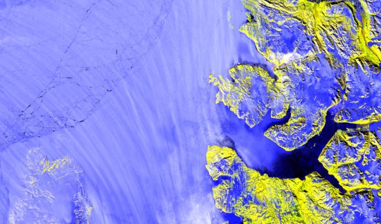
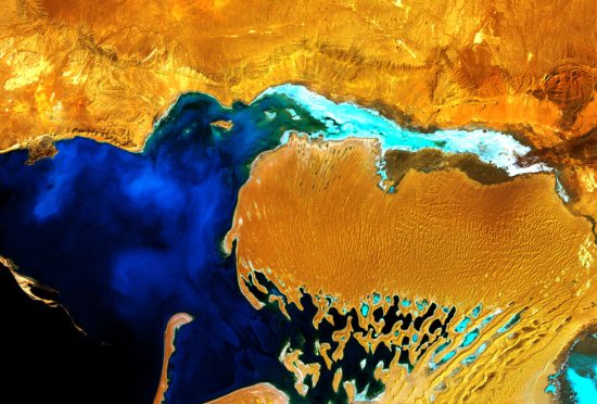
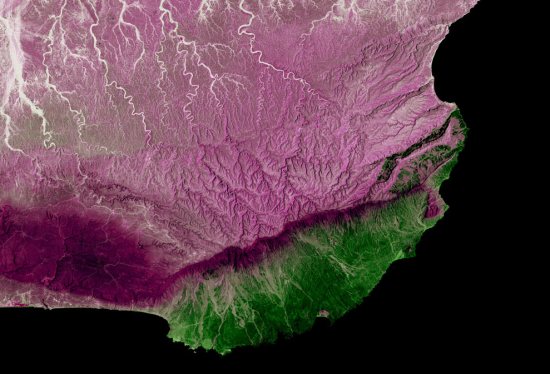
The USGS collection has a ton of images in it, and Wired has picked out some of their favorites.
Out of all of the USGS images, which one do you like best? Leave a comment and let us know.