USGS Historical Map Release

USGS Historical Map Release (Coming Soon)

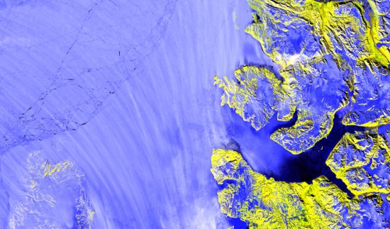
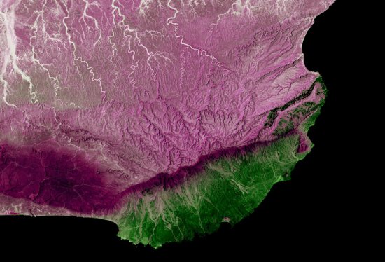
The USGS Historical Quadrangle Scanning Project (HQSP) is scanning all scales and all editions of approximately 250,000 topographic maps published by the U.S. Geological Survey (USGS) since the inception of the topographic mapping program in 1884.

USGS Map Locator

National Map Viewer can locate historical Maps for user to download

Because historical maps are stored in a limited number of collections and are not readily available, the USGS National Geospatial Program has begun a project to convert these historical printed topographic quadrangles to an electronic format (GeoTIFF and GeoPDF®). This project serves the dual purpose of creating a master catalog and digital archive copies of the irreplaceable collection of topographic maps in the USGS Reston Map Library as well as making the maps available for viewing and downloading from theUSGS Store and The National Map Viewer.

USGS Map 1886

One of the first Maps Created by USGS back in1886 will be available to download.

Source:

http://dracutlibrary.wordpress.com/2011/08/11/historical-maps/

Official PDF on the project

http://pubs.usgs.gov/fs/2011/3009/fs20113009_013111.pdf [PDF]

Link to the National Map Viewer [USGS Store]

http://store.usgs.gov/b2c_usgs/usgs/maplocator/%28ctype=areaDetails&xcm=r3standardpitrex_prd&carea=%24ROOT&layout=6_1_61_48&uiarea=2%29/.do

*Some maps will require a purchase – but most will be free of charge to download in GeoPDF and GeoTiff formats.

 
Mapperz Mapping News Blog

Contour SPS Maps

Closed Contour SPS Maps

SPS (Sierra Peaks Section)

Closed Contour SPS Maps

Version 2 of the SPS Map by Closed Contours

New Specs:

  • Whiter glaciers/permanent snow with blue contour lines.
  • Change forest color depending on density (only in Yosemite and Sequoia/King’s Canyon NP so far). I also mentioned this in a previous post.
  • Non-SPS peak names. Discussed earlier as well.
  • Pass names.
  • Trail names, mostly in the NPs.
  • Removed many bogus ‘lakes’ which were actually mis-characterized permanent snow.
  • Added styling for scree, talus, and meadow/marshes.
  • Changed font for SPS peaks to slightly larger, darker, and italic to set them apart from non-SPS peaks.
  • Not a tile change, but added UTM coordinate display in lower right.


The SPS Maps have 248 peaks in the Sierra Nevada range of eastern California (plus Mount Rose in Nevada). The list is maintained by the Sierra Peaks Section, Angeles Chapter, Sierra Club. The map was designed to encompass all of the peaks on the list with a small buffer around them.

Cartography

Using a Transverse Mercator projection with a central meridian of 120° W, origin latitude of 0°, scale factor of 0.9996, WGS84 ellipsoid, and no false easting or northing. This projection was chosen as a compromise between UTM zones 10 and 11 which unfortunately split the Sierra Nevada vertically right through Lake Tahoe. Here’s the proj.4 string for the projection:

+proj=tmerc +lon_0=120w +k=0.9996 +ellps=WGS84
Data

Data sources:
DEMs are from the USGS NED program. (To generate hill-shade and contours.)
Road data are from TIGER.
Hydrology data are from the USGS NHD program.
Trails data are from the NPS and Forest Service.
Land cover data is from NPS and FRAP.
Buildings are from NPS and Mono County.

Map
http://www.closedcontour.com/

More information
http://blog.closedcontour.com/sps-map/

Earth As Art

Last night we showed you some of the fresh new imagery that Google released, and we’re still digging to find other areas that are new, but today we’ve got something a bit different.

Wired Magazine points us to the USGS “Earth as Art” collection. The images are taken by the Landsat 5 and Landsat 7 satellites, with false color produced by satellite sensors. As Wired says, “the result is stunning”. Here are a few examples:

earth-as-art.jpg

earth-as-art2.jpg

earth-as-art3.jpg

The USGS collection has a ton of images in it, and Wired has picked out some of their favorites.

Out of all of the USGS images, which one do you like best? Leave a comment and let us know.