The New Google Earth 6.2

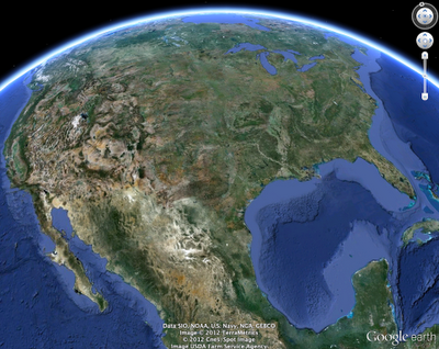
We’re taking bird’s eye view to a whole new level with the latest version of Google Earth, released today. With Google Earth 6.2, we’re bringing you the most beautiful Google Earth yet, with more seamless imagery and a new search interface. Additionally, we’ve introduced a feature that enables you to share an image from within Google Earth, so you can now simply and easily share your virtual adventures with family and friends on Google+.


A seamless globe

The Google Earth globe is made from a mosaic of satellite and aerial photographs taken on different dates and under different lighting and weather conditions. Because of this variance, views of the Earth from high altitude can sometimes appear patchy.

Today, we’re introducing a new way of rendering imagery that smoothes out this quilt of images. The end result is a beautiful new Earth-viewing experience that preserves the unique textures of the world’s most defining geographic landscapes—without the quilt effect. This change is being made on both mobile and desktop versions of Google Earth. While this change will appear on all versions of Google Earth, the 6.2 release provides the best viewing experience for this new data.

Grand Canyon before and after

Sri Lanka before and after

Share your explorations with Google+

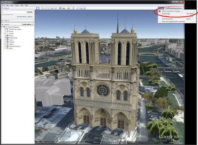
Google Earth is a great way to virtually explore the globe, whether revisiting old haunts or checking out a future vacation spot. With the Google Earth 6.2 update, we’ve added the option to share a screenshot of your current view in Google Earth through Google+. If you’ve already upgraded to Google+, you can share images of the places you’ve virtually traveled to with your Circles, such as family, friends or your local hiking club. To try this new feature, simply sign in to your Google Account in the upper right hand corner of Google Earth and click “Share.” Images of mountains, oceans, deserts, 3D cities, your favorite pizza shop on Street View—you can now experience all these amazing places around the world with people on Google+.


Search improvements

We’ve also made some updates to the search feature in Google Earth. Aside from streamlining the visual design of the search panel, we’ve enabled the same Autocomplete feature that’s available on Google Maps. We’ve also introduced search layers, which will show all the relevant search results (not just the top ten), so now, when looking for gelato in Milano, you can see all the tasty possibilities. Finally, we’ve added biking, transit and walking directions, so if you’re itching for a change of scenery or looking for a new route for your regular commute, you can now use Google Earth to generate and visualize all your options.

via: Google Lat Long blog
Visuals from Hollywood artist Harald Belker

Odds are, you’ve encountered Harald Belker’s work before. As a leading Hollywood concept artist, Harald is the man behind several iconic movie vehicles. His vehicular creds include:

  • The Batmobile from Batman & Robin
  • The Lightcycle from TRON: Legacy
  • The Lexus 2054 and Mag-Lev vehicles from Spielberg’s classic, Minority Report
  • The guy’s got serious game.


    So you can imagine our delight when our friends at Filter Foundry told us that Harald was using SketchUp extensively on his latest project, PULSE: the complete guide to the future of racing. We immediately reached out to Harald who happily agreed to tell us more.

    “I can somehow just create in SketchUp,” Harald explains. “It allows me to visualize my ideas very quickly, giving me free range to explore. I literally use SketchUp the way I used to sketch with a pencil.”

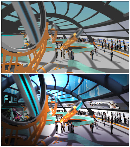
    Harald starts with a SketchUp model and uses Photoshop to bring it to life.He continues, “SketchUp allows me to very easily create an environment for any vehicle I have designed. The typical application for SketchUp is to model something in 3D, set up the perspective, export the image and use that as an underlay for an illustration in Photoshop.”

    This evolution of a space through SketchUp and Photoshop.Speaking more broadly about SketchUp’s role in the movie industry, Harald tell us that “once it caught on, it spread like wildfire. Now everybody I know is using it.”

    He continues, “Since a lot of people I work with are using SketchUp, it’s a great crossover platform, too. I can model something in SketchUp and I can send that file to somebody who adds something else to it, and it sort of becomes this thing that everybody adds to.”

    An electric race from the pages of PULSE.Thankfully, Harald believes it’s the “natural obligation” of an industry vet to share acquired knowledge, and to make good, he’s posting a series of SketchUp quick tips on Filter Foundry. His first tip shows “how easy it is to create good tires in SketchUp.” Stay tuned for more.

    Harald is offering SketchUp tips on Filter Foundry.As a final note, it’s worth mentioning that Harald got into SketchUp the way most of us did: by modeling (or at least attempting to model) his own house.

    “The way I learned SketchUp was on a tip from a friend, who said to just make your own house in SketchUp.” With a big grin, Harald continues, “Before I was even close to finishing my own house, I started designing my dream house. It ended up being 15,000 square feet. It’s a little big, but there’s nothing wrong with dreaming big.”

    Google Maps: New Cities in 3D

    Google Maps continuously works to bring you real-life 3D representations of your favorite cities from around the world. Google Maps in 3D combines a functional map with stunning visuals. You can tour an increasing number of cities in 3D and experience the streets and sights right from your computer or Android device.

    Since embarking on our 3D mapping efforts, we have amassed a collection of cities that allows you to feel like a jet-setter. We have recently expanded and improved this collection to include more cities in Europe and the US, to name a few. You can experience a few cities below.

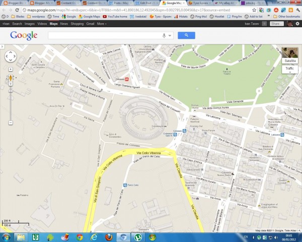
    Hop on your scooter and take a romantic tour through Rome, Italy.

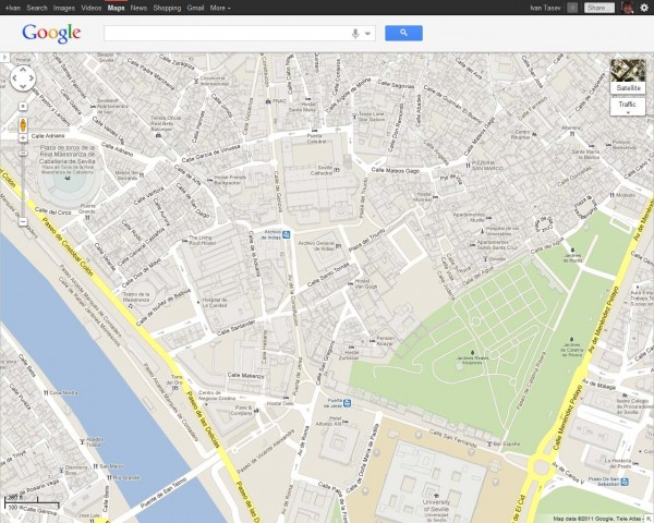
    Tour Seville, the artistic, historic, and cultural capital of southern Spain.

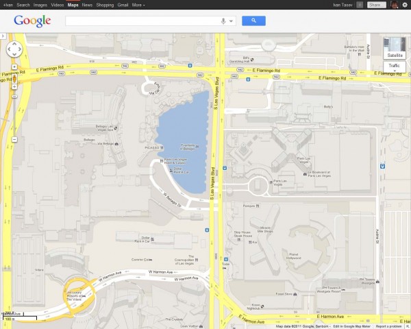
    Or take a look at the casino resorts that dot the Las Vegas Strip which has also been updated with 45 degree satellite imagery as well.


    New 3D maps coverage is available in:

    US: Foster City, Honolulu, Las Vegas, Norfolk,Palo Alto, Portland, Redwood City, Riverside, Salt Lake City, San Antonio, San Diego, Santa Cruz, Sunnyvale.
    Europe: Rome, IT, Rotterdam, NL; Seville, ES; Stuttgart, DE, Amsterdam, NL