The Arch Viz – Lumion

Realtime rendering has moved on a long way in recent years – a prime example is Lumion® a real-time 3D visualisation tool for architects, urban planners and designers.

Suited for creating videos, still renderings and live demonstrations with a quick turnaround Lumion provides high quality output and best of all there is a free version, the movie below provides a look at version 1.0:

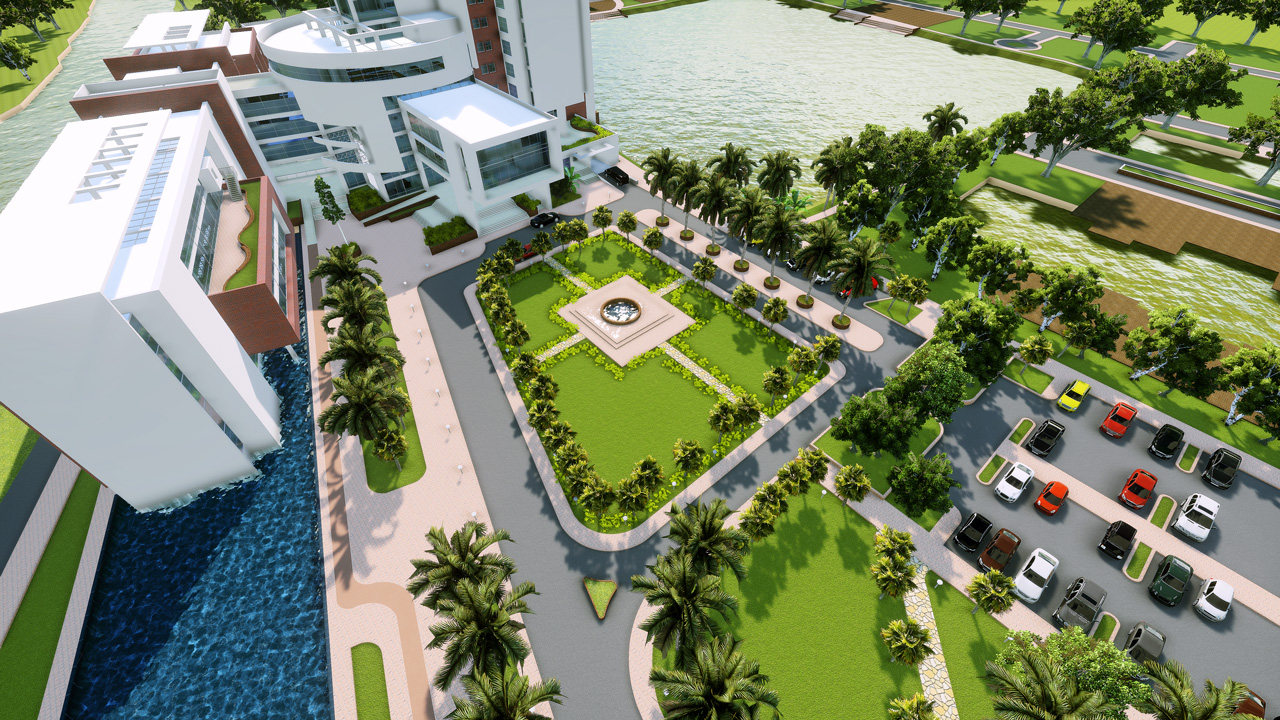
In terms of cityscapes Nano 3D Virtual Studio entered the Lumion architecture visualization competition 2011, the results are impressive:

School Projects, Geospatial Data and Content Management


WeoGeo has over 8 terabytes of free and inexpensive data available in the WeoGeo Market for inclusion in your analysis. Just this week we uploaded some great data from the State of Hawaii on Hawaiian Natural Areas and data from the Center for Disease Control and Prevention on U.S. Diabetes and Risk Factor Prevalence.

Hawaiian Natural Areas

We’ve also have the complete USGS National Hydragraphy Dataset and USGS Earthquake, Fault and Seismic Hazard data available for customization. Bonus points for using the WeoGeo Tools for ArcGIS to import these datasets into your ArcMap projects.

Another great option for students is our WeoGeo Library. Generally after the end of the school year, students need to archive off their projects to some personal stoarge device. Students using WeoGeo Library know their projects are available semester after semester no matter where they are. Since WeoGeo Library is a system of record, you’ll always have them at hand. My masters thesis was stored on a Brother Word Processor which meant that the minute I lost access to that hardware device, I lost all my hard work 2. That’s why a real geospatial content management system like WeoGeo is the best way to manage your school work. Plus you can get started today, for free.

Browsing WeoGeo