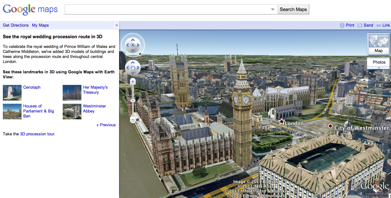
Connected with the marriage of Prince William and Catherine Middleton, many locations in central London are in the spotlight. Last month we expanded our 3D imagery of central London’s buildings and trees in Google Earth to help you explore the royal wedding procession route.
As we get closer to the wedding day, we’ve also featured a few highlights along the procession route for you to explore in 3D using Google Maps with Earth View. If you have the Google Earth plug-in installed, you can get started viewing these spots though an immersive tour right away, or you can download the Google Earth plug-in to explore Google Maps in 3D.
With one click, you can travel to Buckingham Palace, fly to an aerial perspective of Westminster Abbey, or get a clock-level view of Big Ben and the Houses of Parliament. Get started seeing these and other highlights at maps.google.com/royalwedding.
Whatever way you’re celebrating on Friday, we hope this rich data of London in Google Earth and Google Maps brings you that little bit closer to this historic event.