Google’s New Mobile Search


Google rolled out a very slick update to their iPhone App several days ago. Its fast and essentially makes Place page content almost instantly available. Google apparently upgraded the iPhone Safari app at the same and provided a similarly fast access to the Places data.

new iPhone Google Search App

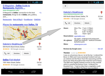
Unfortunately as you can see in the Google screen shot above, in the app, in Safari search and on some Androids, the button to review a business is missing in action. Google has indicated that they are aware of the bug and are working on a fix.

In the meantime if you are using an iPad or mobile devices to access your Places page so that client can leave reviews you are in a bit of a sticky wicket. There are two work arounds until Google fixes the issue.

To get to a page that will give users the review button you can create a url like this that will work on an iPhone or iPad:

https://maps.google.com/maps/place?hl=en&georestrict=input_srcid:b041566bdd3e5aca

To generate the URL with the srcid code go into the dashboard and click on View and it will generate the URL.

Another tactic is to take the regular cid link and add the “open review box” code (&dtab=2&action=openratings) to the end of the standard Place page link:

https://maps.google.com/maps/place?cid=3291747407840809159&dtab=2&action=openratings

This URL will take the iPhone or iPad directly to the mobile review form rather than stopping at the Places page which might be a better solution anyways.

Travel as a Roman

Stanford University have created a “Geospatial network model of the Roman world”
Impressive Interactive Map that can calculate  travel times and cost (in Denarius)
ORBIS, can calculate journey times between 751 locations in the Roman world. The site draws data from The BarringtonAtlas of the Greek and Roman World which has  been georeferenced by Cambridge University Students. To calculate voyages on water, the site uses maps of rivers. Sea journeys are also possible, with routes calculated from the Romans’ preferred sea routes. Dijkstra’s pathfinding algorithmis applied to calculate routes.
The Mapping tool also calculates route dependent on the month for a journey, as weather conditions at sea and on land had a major impact on ancient travel times.
Users can choose from a menu of transport/travel options:
  • Foot/army/pack animal, mule cart/camel caravan
  • Military March (Rapid)
  • Ox & cart
  • Fully loaded mule
  • Horseback rider (routine travel)
  • Private travel (routine, vehicular)
  • Private travel (accelerated, vehicular/horseback)
  • Fast carriage
Try the Roman Travel Interactive Map:
Information on the Geospatial Technology used is see the section tabs:
Building ORBIS: Multi-modal network model via the Building ORBIS tab and selecting the Geospatial Technology Tab.
via:mapperz.blogspot.com

Garmin: New features and capabilties for G3X


G3X 2-screenThe software update theme continues this week as we address some recent software upgrades to the G3X system. Last month, version 6.40 was released, which includes many new features and capabilities including support for GTS 8xx traffic systems, the option to display the G-meter on PFD, the option to display track-up orientation on the PFD HSI, added support for GNS 480 MapMX data and more. Get this update free from the Garmin website!

Here’s a closer look at what you’ll get with the new G3X software:

The G3X can now interface with the GTS 8XX traffic systems, allowing the G3X to display traffic information for transponder-equipped aircraft in your vicinity. To assist with traffic advisories, aural traffic alerts are possible as well.

Another new feature is MapMX, which is now available when using the GNS 480 as your external GPS navigator. This feature allows the G3X to display a more accurate flight path on the moving map page, including procedure turns and holds.

G3x_track_hsi_2displayYou can also now display the HSI instrument on the PFD in a track-up orientation. Put simply, this feature automatically rotates the HSI to put the aircraft’s ground track at the top, which lets you fly with the course pointer at the top of the instrument regardless of crosswinds. In this screenshot, you can see that a 26-knot direct crosswind is trying to push us off course, but the HSI has rotated to show the ground track at the top; magnetic heading is still available on the heading tape at the top of the display. This handy feature can help reduce the pilot’s workload by taking the guesswork out of wind correction angles, which makes following the desired course a “breeze”.

G3x_g_meter G3x_g_meter_setupFor those who are looking to be a little more adventurous, we’ve added a large, easy-to-read G-meter to the PFD. The range of G values displayed on the gauge can be configured to match your aircraft, and there are indicators to show the maximum positive and negative G’s recorded since last being reset by the pilot.