SketchUp: Discover Your World in 3D

Today, we’re unveiling a totally redesigned Your World in 3D website. If you’re new to geo-modeling — the term given to creating 3D buildings for Google Earth and Google Maps — the Your World in 3D website has all the tools and info you’ll need to get up and running quickly. The new website showcases several examples of what fellow modelers are building and will help connect with other geo-modelers around the world.

So that’s the what, here’s the why. Five years ago, Google acquired a Boulder-based startup called @Last Software, which was making waves in the architectural world with their 3D modeling software, SketchUp. Google had an ambitious idea to add a 3D model of every building on the planet to Google Earth, and SketchUp was a tool up to the task. Not only that, by opening SketchUp to a wider audience, users would have the opportunity to help build a virtual mirror of their world.

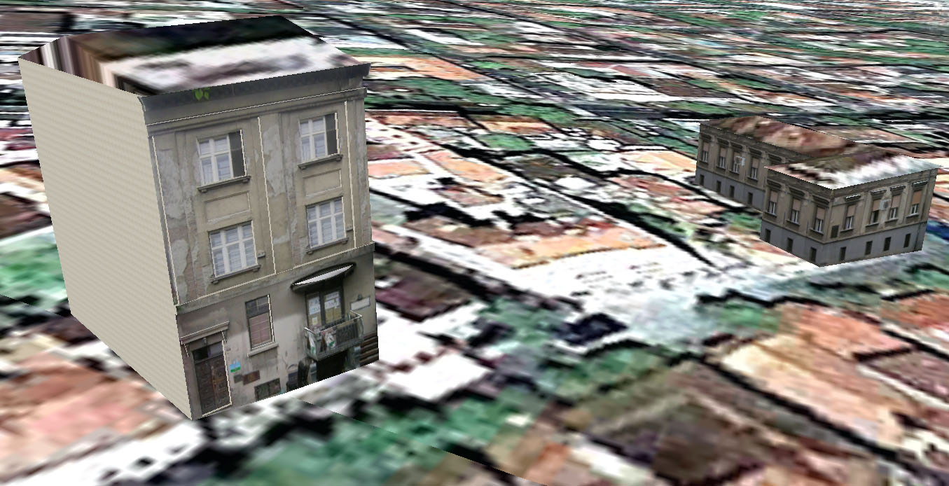
Times Square showcases some of the very first user contributed models

Today, the 3D virtual world is in full bloom: hundreds upon hundreds of villages, towns, and cities have been added to the 3D map representing hundreds of thousands of 3D buildings from every corner of the globe — truly, a testament to the power of open collaboration.

In the intervening half decade, we’ve introduced several new ways of adding buildings to the 3D map, including Google Building Maker and the Cities in 3D program. And you may have noticed 3D buildings surfacing on Google Maps and Google Maps for mobile as well. With so many different ways of creating and viewing 3D models, we realized we needed a destination that would demystify the process of geo-modeling,

Enter: the new Your World in 3D website. We call the website Your World in 3D because it is you, the user, who is helping build this virtual world, and perhaps more importantly, it is you who is finding innovative and surprising ways of using this data.

Your World in 3D has been redesigned from the ground up

Why geo-model? When asked, most geo-modelers say they do it because geo-modeling is just plain fun, but building your town in 3D can also be a great way to show civic pride and encourage tourism for your town. It can also provide an interactive way to promote your business or contextualize the urban planning. 3D modeling has also been used in crisis response situations as we saw in the grassroots modeling effort that happened after the earthquake in L’Aquila, Italy.

SketchUp: More Building Maker cities

It’s a great day for the citizens of Argentina — and for Canadians in the nation’s capital. We’ve released new Building Maker imagery in six new cities:

  • Buenos Aires, Argentina
  • Córdoba, Argentina
  • Mar Del Plata, Argentina
  • Mendoza, Argentina
  • Rosario, Argentina
  • Ottawa, Canada

…but that’s not all! To help these cities get modeled, we’re having the first ever modeling competition for Building Maker. Starting today, you can create models in these six cities to win prizes in two different categories: Best Model and Most Models. The first place prize is a GPS-enabled digital camera; second place is a Building Maker shirt; and third is a Google travel mug. Have fun!

SketchUp: 3D modeling party in Serbia

Supermodeler Zeljko Zdravkovic, known as zexland on the 3D Warehouse, recently hosted a modeling party in Belgrade, Serbia. A modeling party is a workshop/conference hybrid designed to bring people from around the community to learn about geo-modeling and make models of a specific area. Zeljko invited both experienced modelers and soon-to-be modelers from cities all around Serbia: Belgrade, Novi Sad, Niš, Arandjelovac, Pančevo, Paraćin, Zaječar, Obrenovac, Valjevo, Bačka Palanka, Kosovska Mitrovica, Ćuprija and Jagodina!

People from all around Serbia attended the event in Belgrade.


Two other talented modelers also made the trek from their respective homelands to share their modeling insights with the group, Bruno Redureau from France (3DCité) and Mano Papanikolaou from Greece (}-M@No->).

The first day of the event was spent covering the basics, but the real fun started on the second day when we took a tour of the city and specifically of Skadarlija, the bohemian district of Belgrade. Here you find many small shops and restaurants on the cobblestone streets are made up of watermelon-sized rocks. We took photos of the area to use later to create photo textures for future models.

Ironically, Bruno from France was the first to complete a model in Skadarlija! (“Restaurant Zlatni Bokal”)

Stevan Suklovacki from Belgrade takes the lead, however, with two models already created!(“Stambeni objekat u Skadarskoj ulici” & “Zgrada u Skadarskoj ulici”)

In addition to learning modeling techniques and asking questions, the group shared stories with each other about their own geo-modeling projects, all the while sampling delicious Serbian finger-food. Fellow Serbians were able to meet one another in person, and put a face to a 3D Warehouse name.

Ready to model!

Srdjan Vidakovic, an avid Google Map Maker and Panoramio user, helped document the second day’s activities. View more photos of the event and watch Belgrade grow in 3D.

If you’re interested in having a modeling event in your town too, find out how and email us at yourworldin3d@google.com.