Virtual Kenya is an amazing informational resource, offering materials in wide variety of formats including DVD for those with no internet access. Their goal is to help Kenyans in their educational and professional pursuits by giving them this high-quality spatial data.
The amount of data on the site is very impressive. Along with a variety of tutorials and their blog, they feature over 100 informational maps to give you easy access to their data.
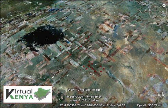
Some of the maps are relatively simple, like their Proposed Small Hydropower Sites:
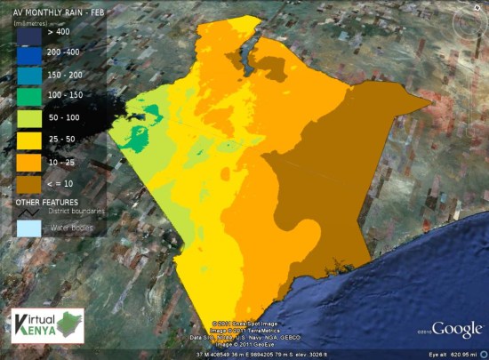
Others are more complex, such as the Average Monthly Rainfall for February map:
Beyond that, they showcase a variety of Google Earth tours on a few different topics. A good example of that is their Wildlife and Tourism Tour, which shows off the country using quite a few different KML overlays and simple 3D models. You can view that tour on their site , using this KML file, or by watching the video below:
In all, it’s quite an amazing site! If you have data to contribute, they have a section of the site full of information on how best to submit it to them.