Google Maps: See the world through a lens with the Panoramio Layer

When looking at a Google Map it’s not always easy to get a sense for what the area looks like on the ground. Satellite imagery can indicate the terrain, whether it is urban or rural, desert or mountainous, and Street View can help in built up areas. But to convey the beauty of more scenic locations you really need a photograph.

For this reason we’re happy to make available the Photos layer from Google Maps to Maps API developers. The Photos layer adds thumbnails of geotagged photos to the map, which are sourced from Panoramio. They are a great way to add additional context to a map, and an on the ground perspective. Photos can be added to an API map using the PanoramioLayer class of the new Panoramio library. We have also added some additional flexibility to enable you to customize both the behaviour of the layer and the thumbnails shown by your application.

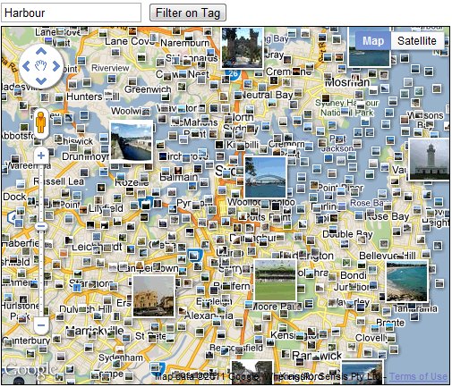
Firstly, applications can listen for clicks on the photo thumbnails and obtain information about the thumbnail concerned, which can then be used to load the photo using the Panoramio Widget API. Secondly, applications can also restrict the thumbnails shown to those of a particular user, or those with a particular tag. This allows you to only show thumbnails for photos that you have uploaded to Panoramio, or only show photos relating to a specific subject, such as beaches. You can try experimenting with different tags in the example below:

For more information on using the PanoramioLayer, please take a look at the Maps API documentation. As always, if you have any questions about using this or any other Maps API feature, we recommend the Maps API forum. We hope this new layer will help to brighten up your maps, and help your users get a better sense of the landscape you are mapping.
CASA Bike Route Map in Wired

Ollie O’Brien’s work of the now widely featured Boris bikes visualisations gain a double page spread in this months Wired magazine.

Image courtesy of Adrian Short

Embedded below is a view of Ollie’s work as a timelapse to illustrate the distinctive weekday commuting patterns of the London cycle hire scheme:

You can run the animation direct via the Cycle Hire Dock Visualisation Map, and find out more about Ollie’s work at CASA and beyond via his Suprageography blog.

Google Places Mobile Option to Only Show Open Businesses

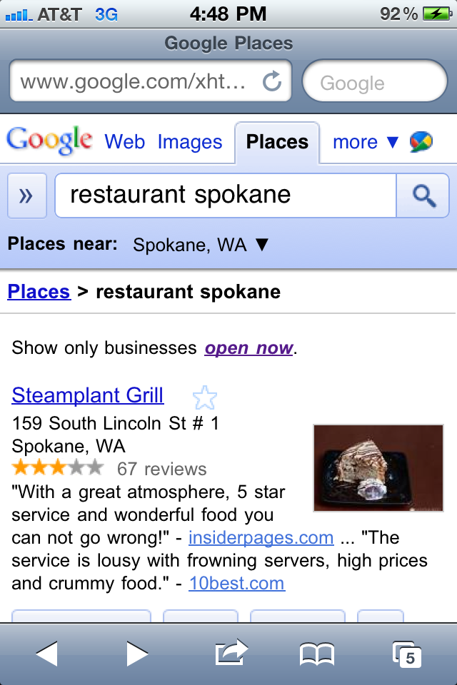
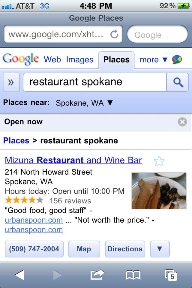
Google Places Search on the iPhone and Android now offers an option to show only business that are open. The feature is available in Places search and filters out not just restaurants that are closed but restaurants for which Google is not confident of their hours. I performed the following search yesterday afternoon for Restaurant Spokane:

All Places:

Only Open Places option selected:

***

It is not totally obvious from the screen shot but the ranking was significantly altered when the top two Places listing completely disappeared. Not because they were actually closed but because the listings were not claimed and Google had been unable to find their hours elsewhere on the net.

Bing recently noted while presenting at the GetListed Portland seminar that 50% of all restaurant queries are now originating on mobile phones. If that fact and this feature is not enough to motivate business owners to claim their listing and populate it with accurate information, I am not sure what is.

Related posts:

  1. Google Maps Offers Refine by User Rating & Neighborhood Option
  2. Will Google Maps Coupons Rise From the Dead with the New Mobile Option?
  3. Google Places Tightens Up Verification Process for New Businesses