FixMyTransport.com Beta

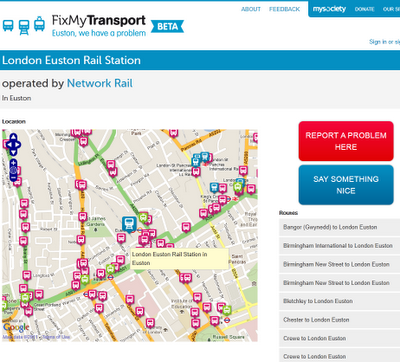
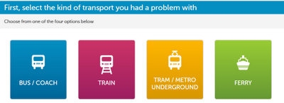
Clean Mapping Interface to report problems with your routes (bus, train,tram/metro ferry)

FixMyTransport was built to help people get common public transport problems resolved. It is targeted specifically at smaller problems such as persistently broken ticket machines, buses that always leave early, or silly rules that appear to do nothing but create inconvenience for travellers.
What is it all about?
At a basic level, FixMyTransport makes it easy for people to send problem reports to the companies or authorities responsible for those problems.
However, we know that simply sending an email often won’t be enough to get a problem resolved. That’s why we’ve built a complete system to make it easy to gather support other people, whether fellow commuters, colleagues or friends. We believe that this is worth doing because a transport company that doesn’t respond to one person may very well respond to ten.
We hope that FixMyTransport will also help people by becoming part of the wider internet community of transport activists and campaigners. In particular, we hope that that community comes to see FixMyTransport as a place where experts and old hands can transfer their skills to people who have little or no experience of lobbying for change.
As well as being aimed at helping people to solve transport problems, FixMyTransport represents an experiment to discover whether a sufficiently well designed internet service can help tip people over the edge from grumbling about a problem to taking action to resolve it. We welcome your thoughts on how to measure whether or not we’re succeeding.
Created by http://www.mysociety.org/
FixMyTransport.com Beta (with map interface openlayers/googlemaps)
http://www.fixmytransport.com/


