Google Places Mobile Option to Only Show Open Businesses

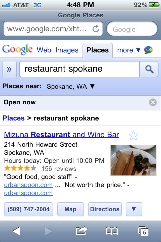
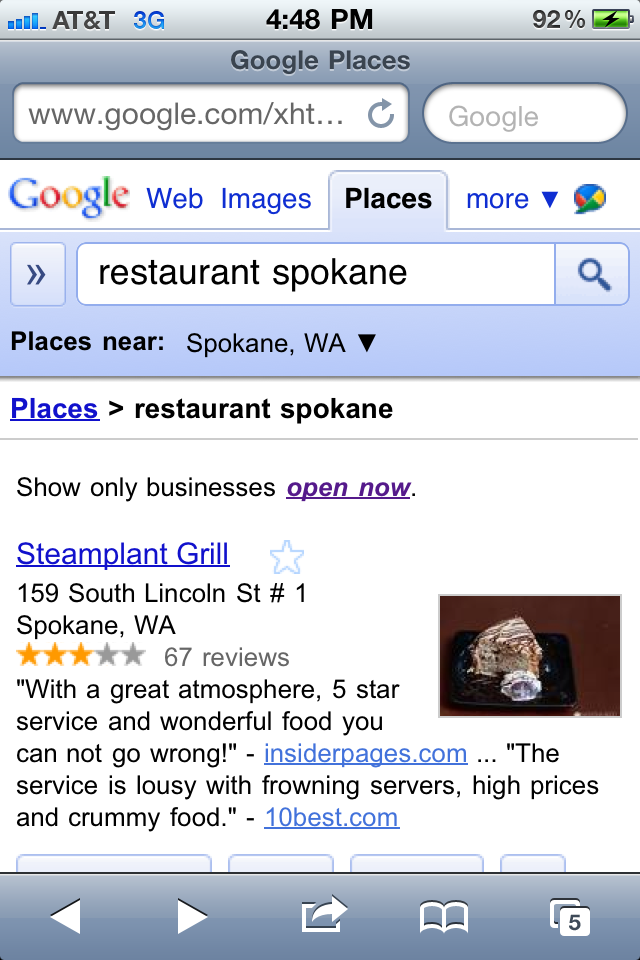
Google Places Search on the iPhone and Android now offers an option to show only business that are open. The feature is available in Places search and filters out not just restaurants that are closed but restaurants for which Google is not confident of their hours. I performed the following search yesterday afternoon for Restaurant Spokane:

All Places:

Only Open Places option selected:

***

It is not totally obvious from the screen shot but the ranking was significantly altered when the top two Places listing completely disappeared. Not because they were actually closed but because the listings were not claimed and Google had been unable to find their hours elsewhere on the net.

Bing recently noted while presenting at the GetListed Portland seminar that 50% of all restaurant queries are now originating on mobile phones. If that fact and this feature is not enough to motivate business owners to claim their listing and populate it with accurate information, I am not sure what is.

Related posts:

  1. Google Maps Offers Refine by User Rating & Neighborhood Option
  2. Will Google Maps Coupons Rise From the Dead with the New Mobile Option?
  3. Google Places Tightens Up Verification Process for New Businesses
Seattle.gov ‘My Neighborhood’ – Bing Maps

Seattle.gov ‘My Neighborhood’ – Bing Maps

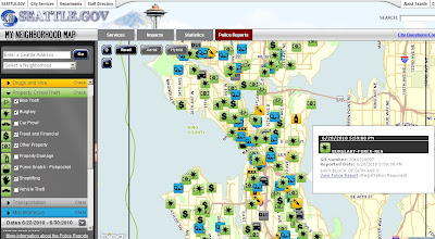
Seattle.gov have launched this ‘My Neighborhood’ include Crime reports Map.
The crime icons are based on initial police reports taken by officers when responding to incidents around the city. The information enters Seattle Police Records Management System and is then transmitted out to the Bing map.

Note: This data and their corresponding map icons will populated on the ‘My Neighborhood’ map within 6 to 12 hours after the report is filed into the system.

Seattle Police 'My Neighborhood' Crime Map
Use the left-hand side bar in choosing date (by calendar), types of crime (Crimes Against Persons, Drugs and Vice, Property Crime/Theft, Transportation & Miscellaneous sub- catergories). Advice is not to switch everything on at once.

About the data:
The mapped icons are based on police reports taken by officers when responding to incidents around the city. The time for an incident to show on the map is 12 hours after the report has been processed. However, the time for a report related to the event to be made available online can take 2-3 business days.

Important Note:
This map provides a good overview of reported activity going on in the Seattle neighborhood. The icons for these incidents are based on initial reports, however, and are subject to change as the investigation proceeds. For this reason, the mapped incidents will not match monthly crime statistics and will not provide a true measure of safety or crime in an area.

View the Seattle Police “My Neighborhood” Bing Map
http://web5.seattle.gov/mnm/policereports.aspx

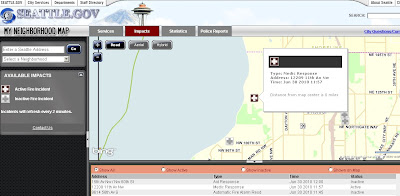
On the same Bing Map it is possible to view live Fire or Medical impacts
Seattle Police 'My Neighborhood' Fire and Medicial Map
Using the ‘Impacts’ tab on the map will change from crime to Fire Incidents (with covers medicial) assistance – this map is updated every 2 minutes.

View the Fire/Medicial Map
http://web5.seattle.gov/mnm/default.aspx?tabId=2

What is a mashup? – ZDNet

At the whiteboard with David Berlind from ZDNet. Developers are getting creative, taking APIs from multiple Websites and merging them to form new, innovative applications. Frozenbear.com merges Google maps and Singles to let you know where the single people are in your neighborhood