We’ve seen global overlay files before on Google Earth, including items such as the popular blue marble overlay. The folks at KMZmaps.com have created a variety of very high-quality overlays for use in Google Earth. They’re not free, but they’re reasonably priced and quite impressive. Here are few of them:
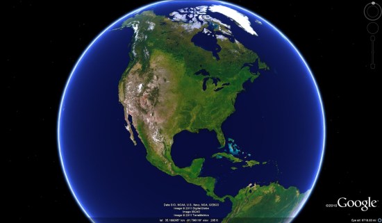
Natural Globe: A more realistic view of Google Earth, very similar to the blue marble overlay but of considerably higher quality.
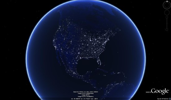
 Night Lights: Very similar to the NASA “Earth City Lights” layer.
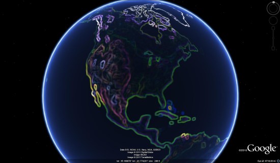
 Colored Edges: There are a variety of Photoshop-edited overlays in here as well; various blurs and effects. Here is one called “colored edges” that is pretty neat.
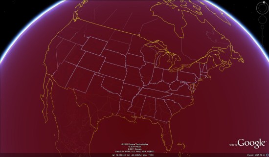
 They also have a collection of solid color overlays. These overlays are completely solid, effectively hiding the base imagery so that roads, borders and other items are more well-defined. Here is the dark red version of that, with the “Borders and Labels” and “Roads” layers turned on.
 Like most maps of this variety, it fades away as you zoom in closer to reveal the base imagery. This allows you to run your favorite overlay all the time, as it will automatically hide itself when you zoom in close enough to look at the details of a specific location. The exception is a special version of the “solid black earth”, which is set to never turn off when you zoom in. They offer both versions, so the choice is up to you.
As I said at the beginning, the big drawback to these files is that they’re not free. They cost roughly $6/each (some vary a bit), with the full collection available for $24.95. However, they also offer a demo map so you can get a feel for how it works. It’s covered with “www.KMZmaps.com” text, but you can get a feel for the quality of the imagery and the way the “auto-hide on zoom” works. You can download the sample KMZ file here . To see more of what they have to offer, visit their site at www.kmzmaps.com.