Viewing 45° imagery can make the map much more fun and informative by enabling you to see a tilted aerial perspective of some of your favorite spots. In this month’s 45° imagery update in Google Maps, I highlight one of my favorite towns in Colorado.
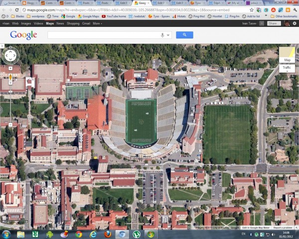
Boulder, Colorado is a mecca for outdoor hiking, cycling, and climbing excursions and 45° imagery can help users plan their adventures. Located at the base of the Rocky Mountains, Boulder is at an elevation of 5,430 feet (1,655m) above sea level which makes for fun terrain to look at from a bird’s eye view. Here’s an image of Folsom Stadium at the University of Colorado, Boulder:
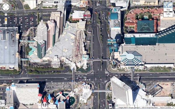
The “Strip” in Las Vegas, Nevada is also included in the latest batch of 45° imagery. Now you can see the some of the large casinos and resorts that dot the famous Las Vegas Boulevard.
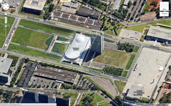
Next we head to the southern hemisphere to Brasilia, the capital of Brazil. The city sits high up on a plateau and some say the aerial view of Brasilia resembles an airplane. Now you can fly even closer and get a 45° look.
Here is a list of updated cities:
U.S.
Albuquerque (west), NM; Benton, AR; Boulder, CO; Eldridge, IA; Boston (east), MA; Centennial (south), CO; GooglePlex, CA; Indianapolis (south), IN; Las Vegas Strip, NV; Montgomery (outskirts), AL; Olathe, KA; Petaluma, CA; Tulsa, OK
South America
Brasilia, Brazil


