Two years ago representatives from Google, Microsoft, Yahoo!, Hewlett-Packard, NASA and the World Bank came together to form the Random Hacks of Kindness (RHoK) program. The idea was simple: technology can and should be used for good. RHoK brings together subject matter experts, volunteer software developers and designers to create open source and technology agnostic software solutions that address challenges facing humanity. On June 4-5, 2011 we’ll hold the third Random Hacks of Kindness global event at five U.S. locations and 13 international sites, giving local developer communities the opportunity to collaborate on problems in person.

The RHoK community has already developed some applications focused on crisis response such as I’mOK, a mobile messaging application for disaster response that was used on the ground in Haiti and Chile; and CHASM, a visual tool to map landslide risk currently being piloted by the World Bank in landslide affected areas in the Caribbean. Person Finder, a tool created by Google’s crisis response team to help people find friends and loved ones after a natural disaster, was also refined at RHoK events and effectively deployed in Haiti, Chile and Japan.
We’re inviting all developers, designers and anyone else who wants to help “hack for humanity,” to attend one of the local events on June 4-5. There, you’ll meet other open source developers, work with experts in disaster and climate issues and contribute code to exciting projects that make a difference. If you’re in Northern California, come join us at the Silicon Valley RHoK event at Google headquarters.
And if you’re part of an organization that works in the fields of crisis response or climate change, you can submit a problem definition online, so that developers and volunteers can work on developing technology to address the challenge.
Visit http://www.rhok.org/ for more information and to sign up for your local event, and get set to put your hacking skills to good use.
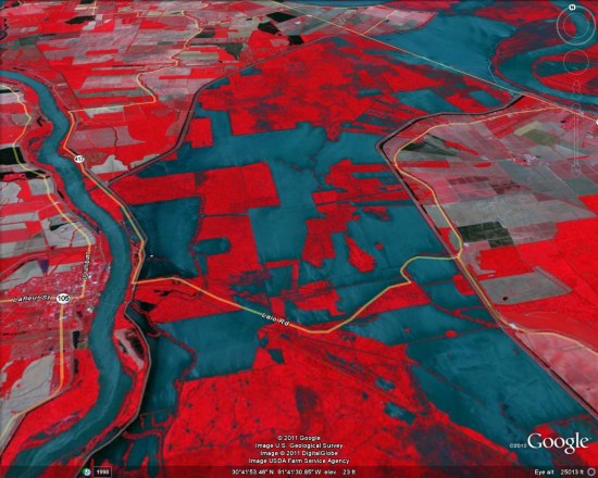
 Be warned that it’s pulling a 4MB image, so it’ll take a few seconds to load.