Improve your productivity with ArcGIS 10 enhanced map editing tools and workflows. Editing is easier, very intuitive, and helps you get more done in less time
FME 2011 – Released
FME 2011 – Released
FME 2011 release today
“Probably the best Feature Manipulation Engine [FME] GIS/CAD conversion software you can get.”

FME 2011 release “story through some numbers”
Top Pick from Mapperz #osm data reader and writer!
- 25,000: Approximate number of CPU hours spent on the automated testing of FME 2011
- 8320: Number of automated tests run each weekend
- 8304: Number of source code check-ins on the FME 2011 code tree
- 6249: Number of automated tests run on each daily FME build
- 2602: Number of documented development tasks closed during FME 2011
- 1008: Number of in-person attendees at FME User Meetings during calendar 2010
- 592: Number of unique customer requests resolved with FME 2011
- 416: Number of transformers shipped with FME 2011
- 265: Number of formats supported by FME 2011
- 201: Number of builds of FME 2011 that have been made (so far)
- 20: Number of hours of CPU a complete test run takes on the fastest platform
- 15: Number of months that we’ve been actively developing on FME 2011
- 11: Average percentage speedup of FME 2011 vs. FME 2010 across all tests which run for more than 7 seconds
- 5: Number of platforms the above tests are run on
- 1: FME 2011 Gold master DVD shipped off to the press
“All these numbers add up to what we believe is the highest quality, most powerful, and most usable FME ever.”
Driven by User Feedback
FME have been able to implement so many excellent suggestions from users (many of which we received during our user meetings throughout the year) – including:
- a) Ability to work with LiDAR and point cloud data
b) Templates to get you started down the right path
c) Convenient SQL Querying
d) Scheduling and a REST API for FME Server
e) A greatly expanded set of Tester predicates
f) Inline data inspection – “workspace debugging” if you like. No more waiting for a translation to finish to see what the results are
g) “Styler” transformers for customizing CAD output
h) More powerful XML support
i) Support for cloud options (Windows Azure, Google Spreadsheet, etc)
http://blog.safe.com/2011/01/fme-2011-a-retrospective-on-todays-release/
The 3D Philippines Initiative
We recently made a trip to Manila to help out with the 3D Philippines Initiative started by COMMDAP. The initiative’s goal is to create an entirely 3D Philippines using Google SketchUp and Google Earth so that information can be shared and experienced in a richer way than with just a basic map. It was an action-packed three-day schedule.
The first event was a general geo-modeling presentation for students and teachers at the University of Makati, which was part of the school’s “Technology Week”. The second event was a presentation to the Google Technology Users Group of the Philippines on geo-modeling and becoming a Geo 3D developer.
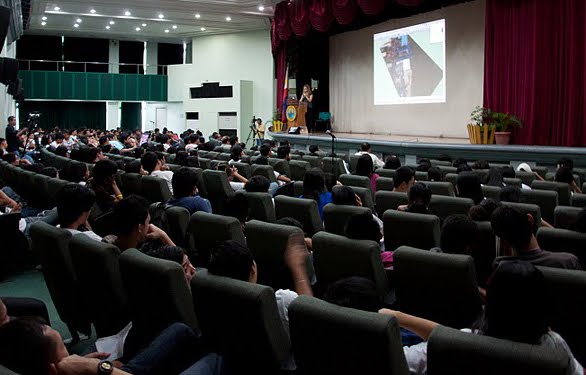 Me (Nicole) onstage presenting the basics of geo-modeling
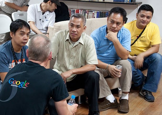 Bruce Polderman answering questions about certification for Geo 3D developers
Next, we held two full-day workshops at the university: one for educators and trainers and one for students. These workshops focused on developing basic modeling skills by means of an introduction to SketchUp, but we taught aspects of photography, photo editing, and other techniques specific to geo-modeling as well.
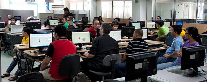 Teachers’ workshop at the University of Makati
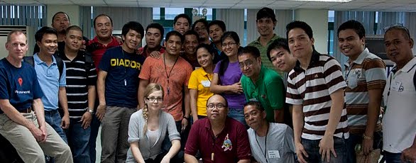 Group photo with the teachers
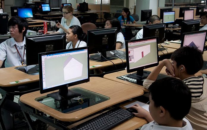 Students’ workshop at the University of Makati
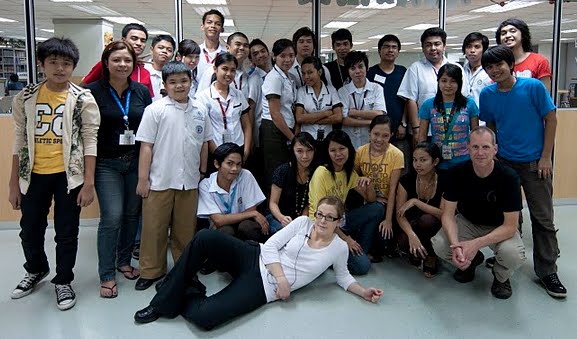 Group photo with the students
Concurrently, COMDDAP was hosting the Manila Expo 2010. There, they had a designated area where visitors could learn about Google Earth and explore the virtual globe both on a standard computer AND on a super-cool interactive touch-sensitive projection white board.
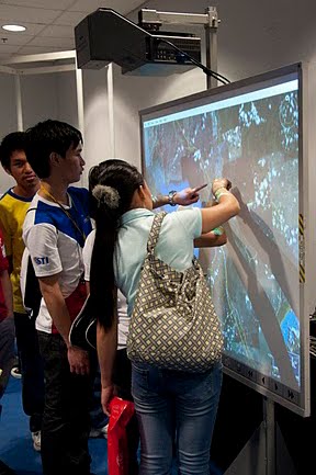 Now THAT’S a touch screen!
Take a look at this photo album for more pictures of our visit to the Philippines.