Dutch geo-modelers gather to model The Hague

Delft, The Netherlands was the most recent location for a Your World in 3D workshop. The goal of the event was to gather members of the local community to learn Building Maker so that they could model The Hague. Design8, an established Google SketchUp distributor in The Netherlands, organized, promoted and led a very successful event. Over 60 people attended the workshop, which was held at the ultra-modern technical facilities of TU Delft, a prominent Dutch engineering school.

The Dutch version of YMCA?

The day was kicked-off with a presentation from Professor Alexander Verbraeck of TU Delft, where he shared numerous examples of how 3D digital models were being used today. “It’s no longer a fringe area of study” he said, “3D is very much here to stay.”

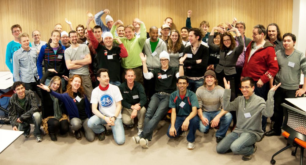
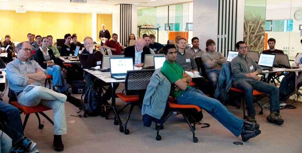
Participants listen to opening remarks.

I followed with a brief summary of why Google was supporting these workshops and why it was important for local residents to develop and maintain 3D models of their cities. To paraphrase: “The built-world is undergoing change every day. Local residents are in a far better position to maintain an accurate view of their town than Google.”

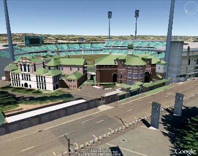
Workshop attendees ranged in both age and experience. We had everyone from teenagers who have grown up with computers in their lives, to retirees who are eager to learn a new skill. Building Maker is a tool that suits all ages and skill levels. The Hague was added to Building Maker in December with a few other cities. Geo-modeling has been popular in The Netherlands since the concept was first introduced in 2006, so the strong interest the workshop received wasn’t unexpected.

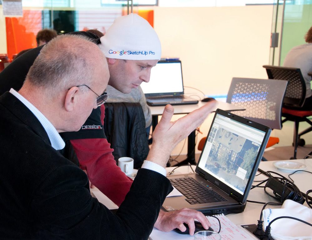
Orlando from Design8 assisting a workshop participant

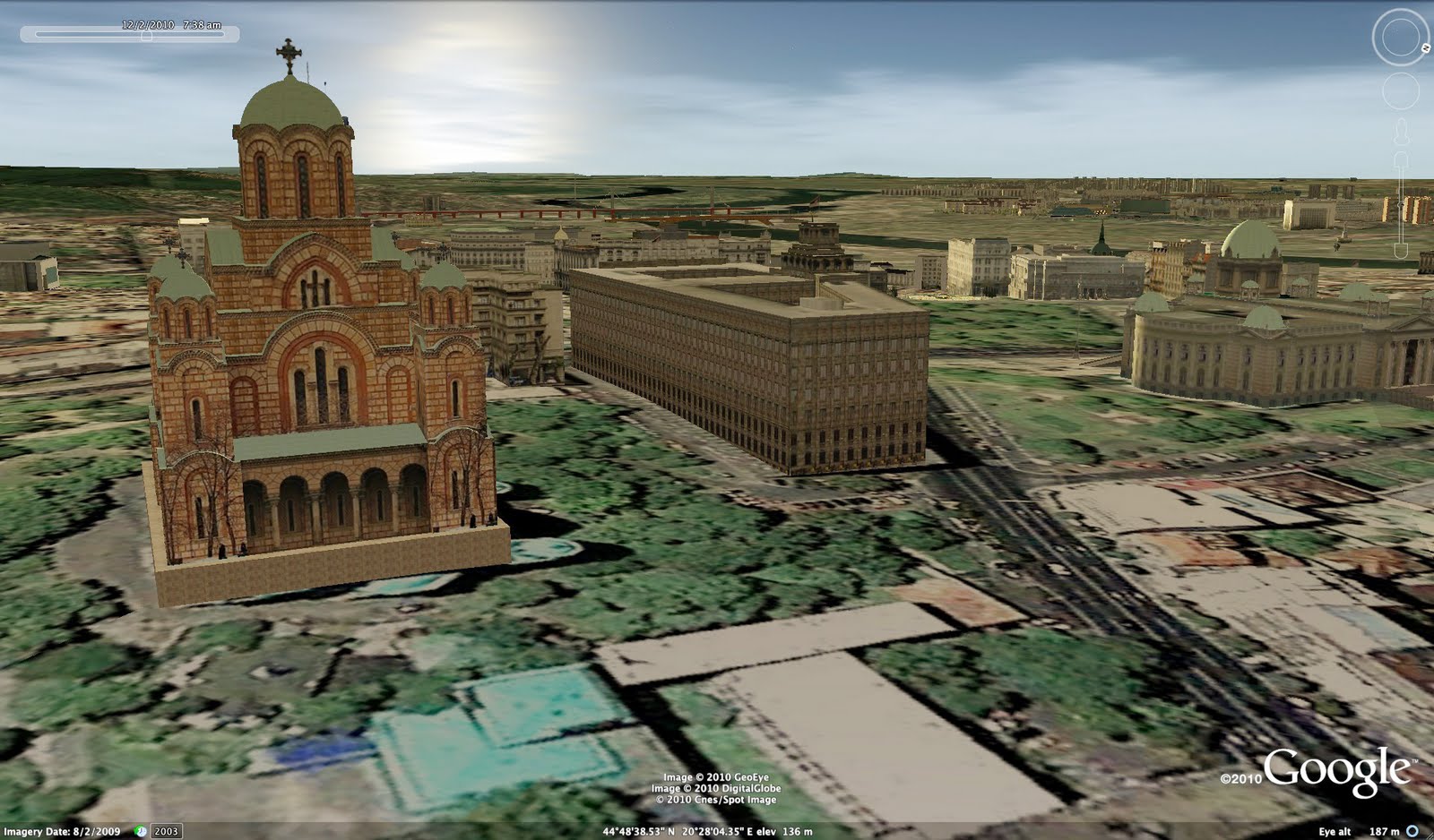
After a short introductory demonstration by Orlando Sardaro of Design8, attendees began modeling. Prizes were offered for the best model and for the most models created. Had we offered a prize for “most distance traveled”, Supermodeler MILO Minderbinder would have walked away with two awards. The young man, (who is not yet old enough to drive) endured a three-hour train ride (each way!) to attend the workshop. Not unexpectedly, MILO put his modeling talents to work and created this terrific model in SketchUp in the short time he was there. The prize for his work is a 3D print of the model, provided by i.materialise.

Nicole and I would like to thank Design8, TU Delft, and all the attendees for a terrific day!

Cricket Season Has Begun!

Summer has arrived in the southern hemisphere, which in Australia, means cricket!
The Ashes,” a tournament series played between England and Australia, recently began a couple weeks ago so the competition is underway. It’s said to be international cricket’s most celebrated rivalry, dating back to 1882.
The series is played biennially, alternating between the United Kingdom and Australia. Since cricket is a summer sport, and the venues are located in opposite hemispheres, the break between series alternates between 18 and 30 months.
In Australia, where the tournament is being played this year, the “grounds” (stadiums) used are “The Gabba” in Brisbane, the Adelaide Oval, the WACA in Perth, the Melbourne Cricket Ground (MCG) and the Sydney Cricket Ground (SCG), in that order.
A view of the Sydney Cricket Ground in Google Earth
So whether you’re a cricket newbie like me, or a veteran “cricketer,” we hope that you’ll explore all of these grounds in Google Earth, or just enjoy our video tour, today!
Posted by Bruce Polderman, Product Manager

Supermodeler Story: Zeljko Zdravkovic

Here’s a testimonial from Zeljko Zdravkovic (a.k.a Zex), who told us about his experience geo-modeling his hometown of Belgrade, Serbia.

I started modeling Belgrade because I wanted to create a 3D identity for my city. I first learned that it was possible to add a 3D building to Google Earth several years ago. I was very surprised and curious about this. I had also noticed a number of untextured models in Belgrade, and decided that I wanted to change that.

As is often the case when learning something new, I experienced many false starts. I didn’t know how to use SketchUp, or, publish a model to Google Earth. I tried and tried, in failure. It wasn’t until I noticed a little checkbox labeled “Google Earth Ready” that I realized why my models where not appearing! I laugh about it now, but it was very frustrating then!

I started to make 3D models in the summer of 2009. Today you can see over 500 models that I’ve made. When combined with the work of other geo-modelers, there are over 800 models in Belgrade, and almost 1200 models in all of Serbia (including Belgrade).

With the exception of some buildings and monuments, I’ve finishing nearly 90% of the city area. I’m hoping to complete the entire city by the end of 2011 or beginning of 2012.

Unfortunately, Belgrade area is not available in Building Maker today. If it were, it would certainly have been far faster and easier. But when I finish the entire city, Belgrade is going to be one of the most quality-built 3D cities in Google Earth, and that’s something that I take a lot of pride in—for me, model quality is number one!

Црква Светог Марка (St. Mark’s Church)

Google Earth is an excellent opportunity to promote your city to other people all over the globe. 3D models can benefit a city a lot. People all over the planet can see, learn from and enjoy the architecture of every building we make.

City TV Studio B now uses 3D “New Belgrade” area in Google Earth for traffic service information on their web site. They use a 3D map in their television broadcast. It’s such a fantastic feeling when you see your 3D models on TV, or used by others for very useful purposes.

It is so amazing how Google Earth has enabled the world to become so personal to us. Now anyone can visit every corner of the globe. It’s really amazing to me!