Back in August, we showed you some of the great 3D models that Andy Dell was creating in Hounslow, and more recently we showed you some of the great 3D models found on the grounds of the Hampton Court Palace in London.
As it turns out, Andy has been building a lot of other models in that same area of London. The models aren’t yet in Google Earth, but they’re all available in the 3D Warehouse. As you can see below, the buildings look excellent and are very well built.
Here’s some of what he has been working on:
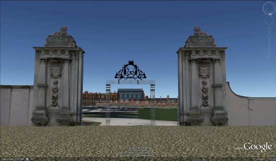
Hampton Court Main Gates — 3D Warehouse — KML
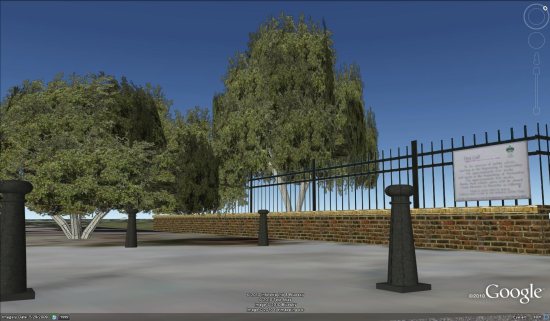
Bushy Park Entrance — 3D Warehouse — KML
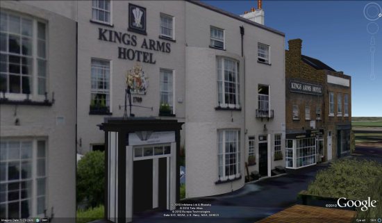
King Arms Hotel — 3D Warehouse — KML
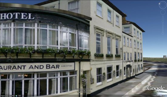
Liongate Hotel — 3D Warehouse — KML
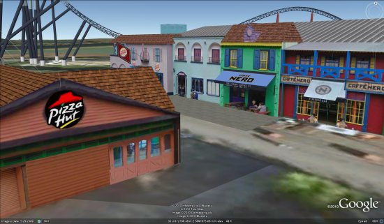
Along with those models, he’s done a good bit of work in nearby Thorpe Park. He’s built a variety of buildings in the park:
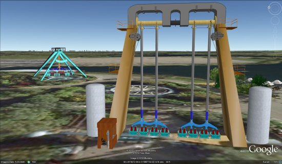
And even some of the rides!
You can view all of those items in this collection in the 3D Warehouse.
Great work, Andy!
If you or someone you know is building excellent 3D models in Google Earth, please
let us know about them so we can check them out.


