This is the last chance you will get to view this series.
According to the new source (below) this will NOT be made available on DVD or BluRay .
“Seeing The Art In Cartography”
An amazing array of interesting cartographic maps spanning centuries of maps that changed the perception of the world we see today.

http://www.bbc.co.uk/bbcfour/beautyofmaps/historical_maps.shtml#/psalter/intro/

http://www.bbc.co.uk/bbcfour/beautyofmaps/historical_maps.shtml#/desceliers/intro/

Clips can be previewed (UK only? iplayer restricts uk only – advise foxyproxy & a uk proxy)
If you use get_iplayer with Tor (Tor, Polipo and Vidalia bundle) even better
*Can be seen on BBC Four in the coming weeks or on the BBC iPlayer
1/4. The story of the Hereford Mappa Mundi, the largest intact Medieval wall map in the world.
Next Monday 19th April, 20:30 BST on BBC Four
Medieval Maps – Mapping the Medieval Mind
http://www.bbc.co.uk/programmes/b00s2w83
Beauty of Maps main page
http://www.bbc.co.uk/bbcfour/beautyofmaps/index.shtml
Also see ‘Animated History of European Mapmaking’
http://www.bbc.co.uk/history/interactive/animations/map_making/index_embed.shtml
Look out for “Windows on the World” [starts Sunday 18 April 2010 21:00 BST BBC4 & HD]
“In a series about the extraordinary stories behind maps, Professor Jerry Brotton uncovers how maps aren’t simply about getting from A to B but are revealing snapshots of defining moments in history and tools of political power and persuasion.”
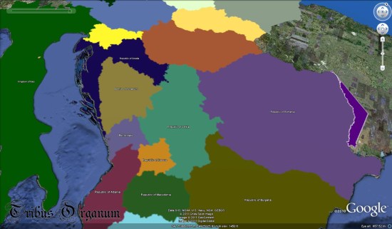
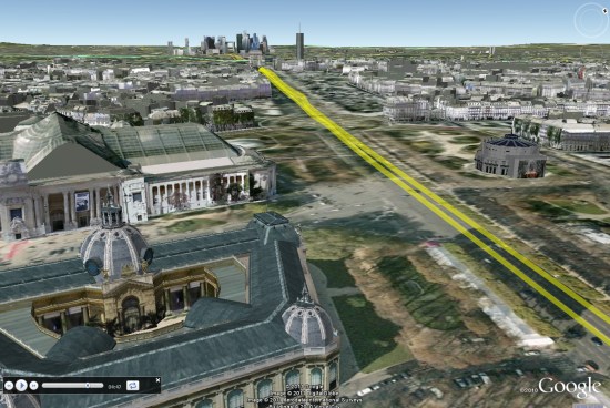
 is roughly 108MB! They’re already working on ways to reduce the size of that, likely putting it into a network link so it can be loaded in smaller chunks as needed. The other advantage to using a network link is that the data can be automatically updated, rather than requiring the user to re-download it from their site.