There is a significant level of interest in postcodes as a convenient reference to locations because of perceived ease of linking them to information about individuals and businesses alike. Over the years postcodes have been put to a wide range of uses in analysing and publishing social trends and population statistics as well as in defining sales, service, franchise or dealership areas. Unfortunately, a misunderstanding of what postcode really is, resulting from a widely held belief about its value as a uniform referencing system, can cause many troubles for the unwary users. This article is a guide for all potential users of postcode boundary data.
Postcode Basics
Firstly, some facts about postcodes, from Australia Post site:
- Postcodes were introduced in 1967 to facilitate the efficient processing and delivery of mail to customers.
- Postcodes are only allocated to localities officially gazetted by State land agencies (usually, a postcode covers an area comprising of more than one locality).
- The decision as to whether a new postcode or an existing postcode is to be allocated to a locality is based on operational efficiency.
- Because the adoption of new or changed postcodes by customers is slow, changes are only made where significant reasons for change are established. A postcode change will only be considered if such a change leads to either enhanced service to Australia Post customers or operational efficiency to the organisation. Any such change will involve consultation with the local council/shire and residents.
Please note, the above holds true most of the time… but there are exceptions. It is also important to note that there are 3 types of postcodes: delivery areas, post office boxes and large volume receiver. Only delivery areas have meaningful reference to locations “on the ground”.
Sources of Postcode Information
Australia Post publishes a list of all postcodes from its database as a comma delimited text file. The list is updated every month and can be downloaded for free from Australia Post website.
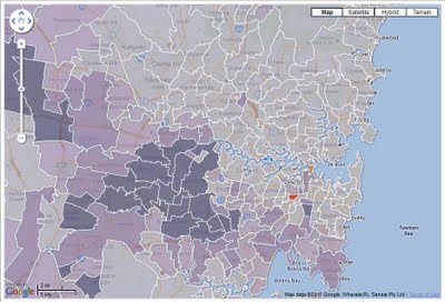
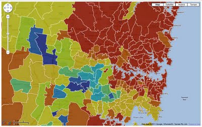
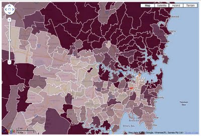
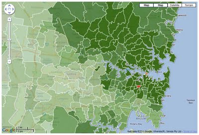
Australian Bureau of Statistics publishes in 5 year intervals a set of Postal Area boundaries that are compiled using outlines of Census Collection Districts. They approximate official Australia Post postcode coverage areas at the time of publishing. These boundaries are available for free download in a range of popular GIS data formats. The next update of the data will be released in December 2010.
A number of private companies also produce and regularly update their own versions of postcode boundaries which are available for purchase. The two major suppliers include MapData Sciences (currently ESRI Australia) and Pitney Bowes (formerly MapInfo Australia). There is also a number of smaller operators that may be a source of free or inexpensive information on postcodes, such as aus-emaps.com which genaralises and converts ABS postcode boundaries to KML format for use with Google Map and Google Earth and supplies large format static maps in PDF format for printing. Other small suppliers with a variety of postcode related products and maps include: mapmakers.com.au, findmap.com.au, cartodraft.com.au and ausmaps.com.
Common Problems with Postcodes
1. Changing Postcodes
Postcodes are changing over time due to evolving operational requirements of Australia Post. Changes include additions of new postcode numbers and deletions of old ones from the list as well as adjustments to composition of postcodes by adding or removing localities. This is especially the case with new, dynamically growing areas as well as some rural locations and is less of the issue for established metropolitan areas.
It means that postcodes are not a stable spatial reference. It is ok to use them as a snapshot of a particular point in time, but what often happens is that the attribution to “what area constituted that postcode X years ago” is lost from the supporting documentation and important facts can be misinterpreted by future users of the information.
This is a real problem for researchers of social trends – those who insist on using postcodes as the main location reference. As well, it may cause some legal headaches if postcodes are referenced in contracts for supply of services or franchise areas, etc. Postcodes were never meant to be used in this fashion!
2. Changing definitions of localities
On top of changes that are undertaken from time to time by Australia Post, there are also changes to boundaries defining localities which are implemented by State and local authorities. What was locality X in 2007 may now be split into locality X and Y. As the result, it is very difficult to maintain timely and consistent reference of postcode numbers to “what is actually on the ground”.
3. Imperfect procedures of referencing postcodes to localities
Where possible, Australia Post references postcodes to officially gazetted localities but localities are determined by State land agencies and boundaries are recommended by local councils. This process is not coordinated from end to end and sometimes it gets out of sync. Take for example postcode 3478 in Victoria. Australia Post lists Medlyn as a locality included in this postcode (June 2010 edition) yet this locality is not on Victoria’s register of gazetted locations. Referencing postcode numbers to localities is not a science and there can be inconsistencies.
Recommendations
If you must use postcodes, please consider the limitations outlined earlier as well as the following recommendations to avoid potential problems:
If you intend to match postcodes to official ABS statistics:
- Your only choice is ABS version of postcodes as it will ensure consistency of definitions (that is, postcode X in the data table will correspond to postcode X depicted as an outline on the map). It is particularly relevant for Census of Population and Housing data.
- If you need to combine those statistics with your own data (eg. client records), geocode individual addresses and then reference them to specific postcode boundaries (eg. using GIS software with “intersect” function capabilities) rather than just rely on postcode component of the address to match the records to boundaries. It is the only way to ensure a particular address/location is part of that specific postcode area.
If you intend to use postcode outlines to define custom areas:
- Again, ABS version of postcodes is the most cost effective option as it is a free dataset.
- Define your custom areas once and put effort in maintenance of that dataset over time. You can adjust a composition of custom areas if required (eg. add/ subtract postcodes or even adjust boundaries – but only if topological consistency can be maintained – that is, if changes to the boundary of one polygon can be reflected in the adjoining polygons).
- It is important to acknowledge that this dataset becomes de facto your own version and that compatibility with “source” postcodes and/ or statistics published on postal area basis may be lost over time.
- Always reference version of postcodes used in any legal documents to avoid future ambiguity as to what constituted “that” postcode at “this” particular point in time.
- As in the previous case, if you need to reference those postcode outlines to your own data, run geocoding and then reference individual records to specific boundaries and do not rely on postcode details in the address record alone to match data with boundaries.
If you are relying on postcode boundaries from commercial operators:
- There is really no point in aiming to always have “the latest” version of boundaries representing postcodes. After all, these are not compatible with ABS statistics (unless the company can assure they reprocess those stats “somehow” to a new representation of boundaries) and besides, what is the benefit of constantly having to reprocess your own data to accurately reference it to the ever changing representation of postcode boundaries? The only exception would be if the company supplies some other unique data that is available exclusively with their proprietary version of boundaries.
- Although companies claim to have “the latest”, these data are rarely updated on continuous basis (ie. every month), rather in 3 or 6 monthly intervals so, you are still getting “dated” product.
- Don’t assume you will be able to reference your address records to “the latest boundaries” using only postcode number unless your address details and postcode boundaries refer to the same time period. In most cases they don’t and you cannot avoid geocoding and then running GIS “intersect” processing of data to ensure reliability of information.
In conclusion, although postcodes appear to be well recognised spatial units for referencing locations, the complexity associated with accurate delineation of postal boundaries greatly diminishes their usefulness. If you can, avoid using postcodes! If you can’t, be aware of all the limitations, especially when drawing conclusions with far reaching consequences.