The Grey color for Google Places

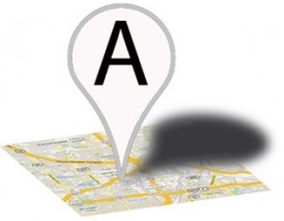
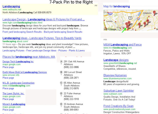
Since Nyagoslav of Optilocal first spotted the grey pinned local results a week ago, there have been a number of other sitings of the change in the wild. There is still a fair bit of variability in the layout and arrangement indicating that Google has not yet picked a final design and they are still testing. The widespread sitings would tend to argue that ultimately the change to grey is likely.

Here are screen shots from Optilocal, LocalBusinessRockstar and LocalvisibilitySystem that capture some of the variety still presenting. Besides the grey pin, you will note that on some screen shots the pin has moved to the right. Most significant to me was the change of the Branded One Box. In moving the images to the right, Google is reducing the space given to a brand at the top of the page. We still need to see this result with SiteLinks to ascertain the full impact.
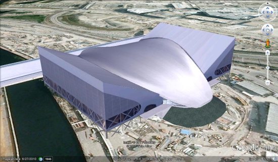
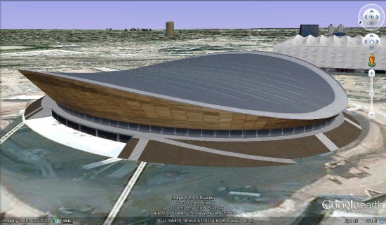
Google Earth: 2012 London Olympics


The 2012 Summer Olympics, to be held in London, are getting closer all the time. As they’re working hard on preparing the various venues for competition, you can use Google Earth to follow their progress.

A handful of venues already have 3D models in Google Earth, including the London Aquatics Centre (model details), seen here:


london-aquatics.jpg 

Another great model is the London Velodrome (model details), which will house the indoor track cycling events:


london-velodrome.jpg 

A great overview of the venues can be found in this Google Sightseeing post from last week. In particular, you can grab their KML file to quickly find the venues in question.

Google added fresh imagery just prior to the 2008 Beijing Olympics, as well as the 2010 Vancouver Olympics, so I expect we’ll see some great new imagery in London sometime before the games begin next summer.

Customized Google Maps for Android


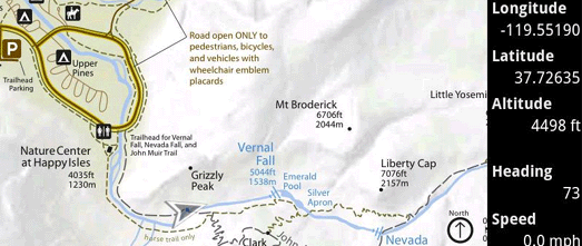
Custom Maps is an essential app for Android phones for any serious off-trail hikers, sailors or anyone else who needs detailed off-line maps.

The app lets you quickly create a custom map for your Android phone from any map image or photo file. The image can be a photo or scan of a paper map. It could even just be the photo of a map posted at the beginning of a trailhead or at the entrance to an amusement park, which you can capture with your smartphone camera.

To create a custom map all you have to do is choose two (or more) points in your map image and plot them on a Google Map. That’s all it takes. Your finished map can then show your GPS location and will work even when a data signal is not available like in a state park or when abroad.

I have a boat that is moored on a river with lots of tributaries and creeks, some of which are navigable and some of which aren’t. When you start exploring these backwaters it is very easy to quickly lose a sense of where you are.

Using Custom Maps I made an off-line map for my phone in less than five minutes using a scan of a river chart. Now I should never get lost on my boat again.

The source code for Custom Maps is also available on Google Code. Several new features are also planned for the app including distance measurement, marking map locations with icons and making it possible to geolocate map images without Google Maps or a data connection.

Via: Open Source at Google