Sightseeing The busiest airports of 2011


Over the years, the folks at Google Sightseeing have continually produced excellent content. They tend to use Google Maps for their views, so we always like to see how their locations look in Google Earth as well. In the past year or so, we’ve shown you some of their items such as the set of “Wipeout” and exploring the deserts.

Their latest feature covers the Top 5 Busiest Airports of 2011. Living in Atlanta, home of the world’s busiest airport, these kinds of stories always interest me. The numbers shown below are the total number of passengers from January-May, 2011. Let’s get to the list.

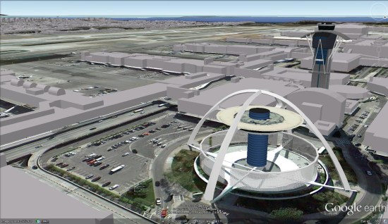
5. Los Angeleas International Airport (LAX) — 24,230,832

lax.jpg 

4. O’Hare International Airport (ORD) — 25,986,415

ohare.jpg 

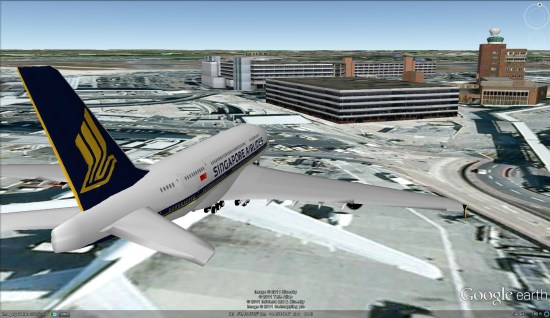
3. London Heathrow Airport (LHR) — 26,733,585


lhr.jpg 

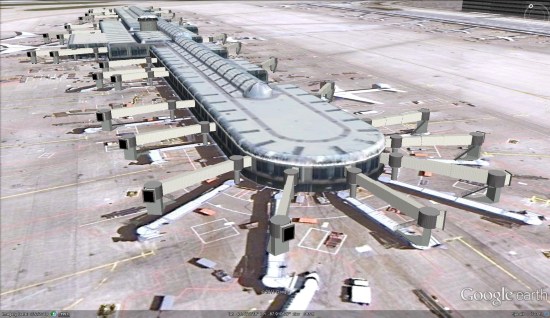
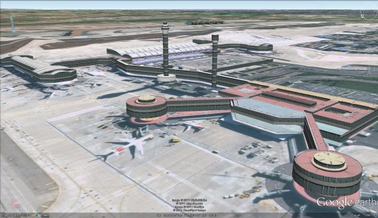
2. Beijing Capital International Airport (PEK) — 31,080,482

pek.jpg 

1. Hartsfield-Jackson Atlanta International Airport (ATL) — 36,548,629


atl.jpg 

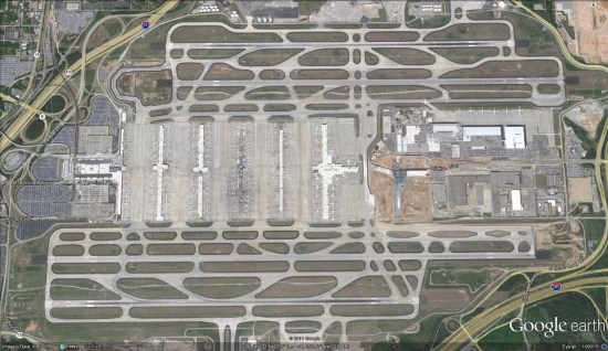
Another neat image of the Atlanta Airport comes from the folks at Trendsmap. They captured all of the geo-located tweets in the Atlanta area over the course of a year, then plotted them against a dark background. The result is quite cool, as you can clearly see the various terminals of the airport, which are connected by underground tunnels. (details on Flickr)


atl-twitter.jpg 

For other interesting airports in Google Earth, check out the scariest airports in the Caribbean, or perhaps Peter Olsen’s amazing recreation of the 1977 Tenerife Airport disaster.


GoogleEarthBlog

Bing Maps: Streetside

Bing Maps Streetside – London UK

Bing Maps Streetside - London UK

Streetside is now available for some parts of London, England

Bing Maps Streetside - Westminster Bridge London UK

Westminister Bridge, London Bus and London Eye Iconic Landmarks, but do not expect ‘Google Streetview’ type functionality this is more a slide-show of images.

More information on Streetside

http://www.microsoft.com/maps/en-GB/streetside.aspx

View Streetside – London UK (click the icon next to Traffic)

http://www.bing.com/maps/?v=2&cp=51.50085314131346~-0.12088798043215165&lvl=14&dir=0&sty=r&trfc=1&form=LMLTCC

Now You Can See the Weather in Google Maps

Whether you’re organizing a trip overseas or a picnic at a local park, knowing the weather forecast is a crucial part of the planning process. Today, we’re adding a weather layer on Google Maps that displays current temps and conditions around the globe, and will hopefully make travel and activity planning easier.

To add the weather layer, hover over the widget in the upper right corner of Google Maps and select the weather layer from the list of options. When zoomed out, you’ll see a map with current weather conditions from U.S. Naval Research Lab. And, if you look closely, you can also tell if it’s day or night around the world by sun and moon icons.

Enabling the weather layer also gives you an instant weather report for friends and family living around the world. For example, it looks like my family in London isn’t experiencing the best summer weather right now:

Weather near London, UK

Clicking on the weather icon for a particular city will open an info window with detailed data like current humidity and wind conditions, as well as a forecast for the next four days. Below is the upcoming forecast for my location in wintertime Sydney, which seems to have the similar weather as London!

Changing the units of wind speed (Mph/KMph) and temperature (F/C), and enabling or disabling the clouds (when you’re zoomed out), can also be done from the left-hand panel.

Weather left hand panel

Get started now and check out the weather layer here.