Building Maker: 109 cities and counting

Today’s Google Building Maker imagery update is our last one for 2010 – you can now use our purpose-built geo-modeling tool in any of 109 cities around the world. We’ve just released imagery for:

  • Oklahoma City, Oklahoma
  • Oslo, Norway
  • The Hague, The Netherlands
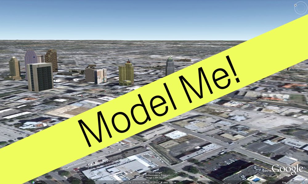
San Antonio, Texas is one of the newest additions to Building Maker.

We also greatly expanded the coverage areas for San Diego, California and Portland, Oregon. And in case you missed the update two weeks ago, we also released imagery for:

  • San Antonio, Texas
  • Tucson, Arizona
  • Norfolk, Virginia
  • Salt Lake City, Utah
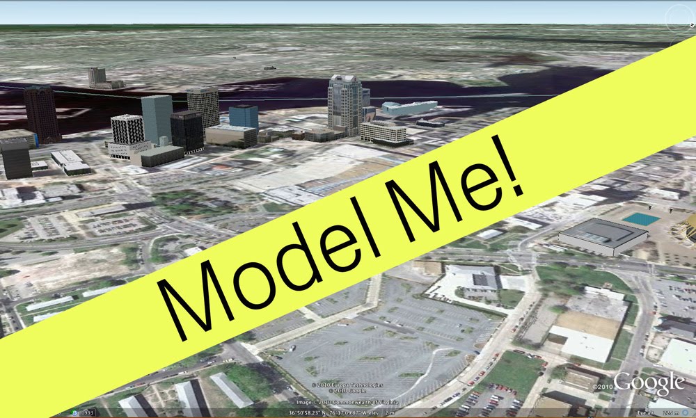
Norfolk, Virginia is itchin’ to be modeled.

Still waiting for your city to be added to Building Maker? You can request it; in the meantime, try modeling in one of these new cities to help get them on the 3D map.

Changing World, Changing Maps

Today, we are excited to let you know that we have updated the base map data in all Google Maps products and services for ten countries: Australia, Austria, Belgium, Denmark, Liechtenstein, Netherlands, New Zealand, Norway, South Africa and Switzerland. This follows earlier improvements to our maps in the US and Canada, and will be rolling out over the course of the next day.

Somewhere near you, a new road is being constructed, an existing one is changing names, a new restaurant is opening, or a parking lot is making way for a park. With this update, you can help keep your neighborhood accurate across Google’s geo product suite. Notice that something has changed on your block recently, or that the directions provided could have been better? Report a problem, and we will make the change in Google Maps within a couple of months.

We have worked hard to improve the usefulness of the maps for our users, developers, and business partners. Improvements range from including more address data and building footprints so you find your destinations easily, to adding higher resolution topographic features and detailed university campuses to help you orient yourself faster in a new area. We have also augmented our maps with bike paths and walking trails, and will roll out biking directions soon. We hope our maps help you explore your world better.

Posted by Anup Mantri, Software Engineer

Map data update for Australia, New Zealand, South Africa, and parts of Europe

We’re always looking to improve the accuracy of our maps and the value of the services we offer around them. To do that we need to have the best quality map data possible, and we believe that nobody knows the world around them better than our users. For this reason we’re always excited when we can update our maps and enable users to participate in improving them, as we have previously in the United States and Canada.

Today we’re adding Australia, Austria, Belgium, Denmark, Liechtenstein, Netherlands, New Zealand, Norway, South Africa, and Switzerland to the set of countries in which this is possible. These map updates will improve our geocoding and directions, increase the accuracy and coverage of natural features such as forest and water bodies, and add walking paths and bicycling trails.

The updates will roll out over the next 24 hours, and will be applied automatically to existing Maps API applications. However we ask that you refresh any cached addresses, latlngs, or routes for these countries that were obtained using the Maps APIs before this update as soon as possible.

If you have any questions or concerns about how these updates affect your Maps API application, or for help refreshing your cached data, please post to the relevant forum. We look forward to lots of great map feedback from our users in these countries that will improve the maps experience both in Google Maps and in the Maps API.

Posted by Thor Mitchell, Google Maps API Product Manager