Google Map Maker USA

Google Map Maker USA Launches

Google Map Maker USA Launches

Start adding your local knowledge to the map.

  • Add businesses and building outlines.
  • Move place markers to the right locations.
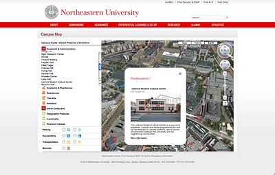
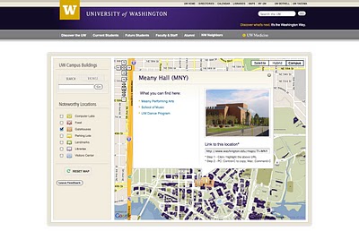
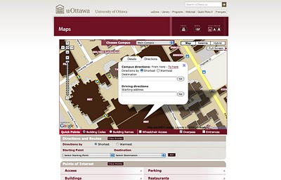
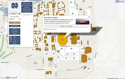
  • Build a detailed map of your school campus.

(note: Open Street Map does have a service with one major benefit over Google Map Maker – data you create (with many thousands of others) is available to everyone for free even if commercial organization.

Google Maps retains this information only limited places have MapMaker Downloads
http://www.google.com/support/mapmaker/bin/answer.py?hl=en&answer=156852

but read the terms… first.

8.1
You Must Be a Non-Profit Entity, a Government Agency, or an Individual. You must be a non-profit entity, a government agency, or an individual acting on a not-for-profit basis. For-profit entities and individuals acting on a for-profit basis are not permitted to use the Map Maker Source Data, but may be eligible to use Google’s other geo-related products, such as the Google Maps APIs, according to the terms of service for those products.

8.2 Your Map Project Must Be Non-Commercial and Free of Charge to Users.

(a) Your Map Project must be for non-commercial uses only. You cannot use Your Map Project to either directly or indirectly generate revenue as part of a for-profit enterprise. For example, Your Map Project cannot be hosted on the website of a for-profit company. However, Your Map Project can be hosted on the website of a validly-registered non-profit or governmental entity (as determined by the applicable law of your jurisdiction).

(b) Your Map Project must be free of charge. You may require users to log in to Your Map Project but you cannot require users to pay a fee (unless you have entered into a separate written agreement with Google or obtained Google’s written permission to do so).

8.3 Your Map Project Must Provide Google with Attribution. Unless otherwise agreed to by Google in a written amendment to these Terms, in every instance in which the Map Maker Source Data are used in Your Map Project, Your Map Project must include the following attribution notice in accordance with the requirements below:

(a) Text of Notice: “Map Data © 2009 Google – Improve with Google Map Maker“.

Google Map Maker Pulse
Live (real-time) updates of edits to google map maker service – http://www.google.com/mapmaker/pulse


YouTube Video the USA MapMaker

source:
http://google-latlong.blogspot.com/2011/04/add-your-local-knowledge-to-map-with.html

University Campus Maps

Amid the height of “March Madness” from the NCAA basketball tournament in the US and the end of the spring break, it’s a good time to look at campus maps and how students are getting around these days. As universities continue to grow, finding the location of a class is becoming more difficult. Fortunately for today’s students, our Geo APIs can help make campus navigation a lot easier.


Northeastern University


Northeastern University’s campus map is great example of a highly immersive Google Maps and Earth experience. Using the Google Earth Plug-in, users can ‘fly’ in animated 3D from one building to another. The entire campus is custom modeled in 3D (which can easily be done using Google SketchUp). The map also features custom icons, integrated directions, custom balloons with pictures, and even a page where users can see the locations of Northeastern students studying abroad.


University of Washington


This map is a great example of a seamless custom imagery overlay on top of the Google Maps baselayer. Buildings on the custom UW map are clickable and clicking on one of the buildings brings up a custom styled info window with links to departments held within the building. UW also provides a shortened URL for the building for easy sharing. On the left hand side of the map there is a navigation bar for noteworthy locations such as computer labs, parking, or libraries. Selecting one of the categories will populate the map with a corresponding custom icon. Extra credit points for a custom styled and easy to use UI, both in and around the map.


University of Ottawa


Going to school at the University of Ottawa presents some unique challenges, namely that it can get really cold in the winter. According to the City of Ottawa’s visitors site, the average temperature in January is -10 degrees Celsius! This map aims to make life easier for students by providing integrated direction with two options: shortest route and warmest route. Buildings at uOttawa are interconnected, so students can choose to go between buildings or to brave the cold outside. This map also features custom overlays, custom icons showing the locations of overpasses, and custom info windows.


University of California – San Diego


Waiting on your bus can sometimes be huge time sink, which is especially troublesome if you happen to be in the middle of finals. The University of California – San Diego has taken the guess work out of campus transportation by tracking the real time location of all their shuttles on a Google Map. Using the map above, students can see route maps, travel times, and shuttle locations. There’s also an integrated trip planner to help students get around the greater San Diego area.


University of Notre Dame


In addition to being a great looking and easy to use full screen map, the University of Notre Dame has added filtering tools to highlight the relevancy of certain buildings at a given time. For example, clicking on the “Game Day” overlay button will highlight Notre Dame stadium (where the games are played) and Bond Hall (where the marching band plays traditional game day concerts), as well as a few other buildings active on game day.

Mobile Campus Maps

As mobile devices and smart phones become more common amongst students on campus, schools like Missouri State University are taking advantage of mobile optimized Google Geo APIs. In February 2010, Chad Killingsworth, Assistant Director of Web & New Media at Missouri State University, posted a story here on the Geo Developers Blog about how his school created a mobile device optimized map for campus buildings, parking and real-time transit system information.

Conrad Wolfram on Teaching Maths with Computers: Dangerously Wrong

So I just watched this TED talk about teaching kids maths using computers:
He makes some excellent points in it but IMHO his argument is deeply flawed.
So who rattled the bars of your cage?: It’s a fair point, I may know about teaching geography with computers but what do I know about teaching math? Well, in my past I spent time teaching maths to geologists undergrads with low academic achievement and I’ve also been on a team that built an online set of materials teaching maths to geologists (which has now disappeared from the web).
Maths by Hand: I agree with Conrad that hand calculation of maths problems is not good training for our school students, as he points out its a relatively small, uninteresting part of a bigger question. Getting students to define a real world problem in maths terms and then understand how the numerical answer is limited is more difficult and much more important.
So what’s wrong?: The techniques that he advocates – e.g. using real world examples or verifying the answers, are aspects of constructivism which is not necessarily about using computers and has been around for years. He goes on to advocate programming as necessarily giving students a good grounding in maths, again, this approach is nothing new, logo programming was put forward as a way to teach students math techniques in the 80s. As this review reveals, the technology has a lot of merit but testing results were far from conclusive. As an example, when discussing the use of logo programming to teach geometry it says:
“In summary, studies show that success [teaching geometry with logo] requires thoughtful sequences of Logo activities and much teacher intervention. That is, Logo’s potential to develop geometric ideas will be fulfilled if teachers help shape their students’ Logo experiences and help them to think about and make connections between Logo learning and other knowledge the student might have”
(emphasis mine) Doesn’t sound a lot like Conrad’s silver bullet does it?
History of Technology and Education: The phrase ‘computers as a silver bullet’ worries me because I researched the history of Technology in Education recently. What I found is that numerous times the technology of the day has been touted as offering a paradigm shift in improving education but every time the it is later found to have over hyped. Examples in the 20th century were radio, film, TV and computers (Penrose talk prezi slides 4 to 8) all of which failed to deliver because the students’ needs were lost in the application of a a silver bullet technology. To be fair Conrad does mention that computers can deliver poor teaching but he maintains that programming is the silver bullet for math teaching.
Conclusion: Students’s educational needs are complex to meet and require experienced teachers using whatever technology is appropriate to the task at hand be that computers or a big bit of paper with some felt tip pens. Teaching technologies touted as silver bullets have always been, and will always be, a dangerous distraction.